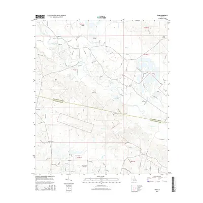
2015 Map of Enon
USGS Topo · Published 2015About this map
Enon and Willis serve as the primary focal points of this portion of Washington Parish, where the winding course of the Bogue Chitto river dominates the landscape. The river's path is marked by a complex network of tributaries such as Thigpen Cr, Holdens Run, and Wascom Br, which carve through the terrain near the St. Tammany Parish boundary. The area's settlement pattern is deeply rooted in local family history, evidenced by a significant concentration of family-named burial grounds including Magee Cem, Cordelia Cem, and Mizell Cem.
Find a feature on this map
103 named features on this map. Tap any name to fly to it.
Don’t see what you’re looking for? This feature index may not catch every label — zoom into the map to look around manually.
Map Details
Editions of this 2015 Enon Map
This is the sole edition of this map. No revisions or reprints were ever made.
Other maps of this area

1939 · Zona
USGS Topo · 1:31,680

1942 · Onville
USGS Topo · 1:31,680

1942 · Waldheim
USGS Topo · 1:31,680

1942 · Thigpen
USGS Topo · 1:31,680

1942 · Talisheek
USGS Topo · 1:31,680

1942 · Rio
USGS Topo · 1:31,680

1949 · Bogalusa West
USGS Topo · 1:31,680

1950 · Folsom
USGS Topo · 1:31,680

1950 · Franklinton
USGS Topo · 1:31,680

1953 · Mobile
USGS Topo · 1:250,000