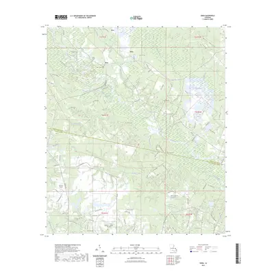
2023 Map of Enon
USGS Topo · Published 2023About this map
Bogue Chitto winds through this section of Louisiana where the borders of Washington and St. Tammany Parishes meet. The area is defined by a dense network of family-named cemeteries and small settlements like Enon and Willis, reflecting a long-standing rural community structure. Many local landmarks and cemeteries, such as the Enon Baptist Church Cem and Zaborn Magee Cem, are tucked away near the numerous small tributaries like Magee Branch and Mill Creek.
Find a feature on this map
112 named features on this map. Tap any name to fly to it.
Don’t see what you’re looking for? This feature index may not catch every label — zoom into the map to look around manually.
Map Details
Editions of this 2023 Enon Map
This is the sole edition of this map. No revisions or reprints were ever made.
Other maps of this area

1939 · Zona
USGS Topo · 1:31,680

1942 · Onville
USGS Topo · 1:31,680

1942 · Waldheim
USGS Topo · 1:31,680

1942 · Thigpen
USGS Topo · 1:31,680

1942 · Talisheek
USGS Topo · 1:31,680

1942 · Rio
USGS Topo · 1:31,680

1949 · Bogalusa West
USGS Topo · 1:31,680

1950 · Folsom
USGS Topo · 1:31,680

1950 · Franklinton
USGS Topo · 1:31,680

1953 · Mobile
USGS Topo · 1:250,000