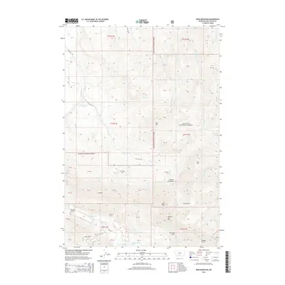
2014 Map of Enos Mountain
USGS Topo · Published 2014About this map
Enos Mountain and Morning Star Peak define the high terrain of this portion of the Gallatin National Forest in south-central Montana. The landscape is characterized by a dense network of drainages feeding into the East Boulder River and the various forks of the Deer Creek system, including the Middle Fork Upper Deer Creek and East Fork Upper Deer Creek. Human presence is marked primarily by forest access routes such as Elk Creek Road and East Boulder Road, which track through the gulches and canyons. The presence of named features like Skookum Joe Canyon and Boone Mtn speaks to the region's local heritage, while the extensive system of land partitions (PB labels) reflects the complex surveying history of these federal lands. The map details a transition from the lower river valleys, such as Wright Gulch, up to the high-elevation Clover Basin.
Find a feature on this map
52 named features on this map. Tap any name to fly to it.
Don’t see what you’re looking for? This feature index may not catch every label — zoom into the map to look around manually.
Map Details
Editions of this 2014 Enos Mountain Map
This is the sole edition of this map. No revisions or reprints were ever made.
Other maps of this area
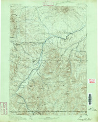
1891 · Livingston
USGS Topo · 1:250,000
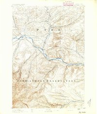
1891 · Big Timber
USGS Topo · 1:125,000
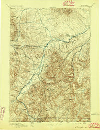
1893 · Livingston
USGS Topo · 1:250,000
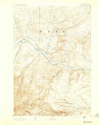
1893 · Big Timber
USGS Topo · 1:125,000
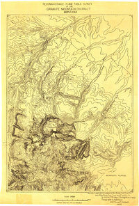
1898 · Granite Mountain District
USGS Topo · 1:125,000
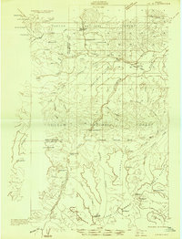
1932 · Nye No 2
USGS Topo · 1:48,000
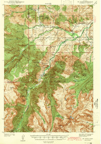
1939 · Mt Wood
USGS Topo · 1:62,500
1941 · Mt. Wood
USGS Topo · 1:62,500
1941 · Mt Douglas
USGS Topo · 1:62,500
1943 · Mt Douglas
USGS Topo · 1:62,500