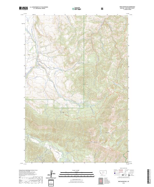
2024 Map of Enos Mountain
USGS Topo · Published 2024About this map
The Gallatin National Forest dominates this landscape in the Beartooth Mountains, defined by high peaks and an intricate network of drainage gulches and irrigation systems. Prominent summits like Enos Mtn, Elk Mtn, and Morning Star Peak tower over deep incisions such as Skookum Joe Canyon and Snowslide Gulch. Evidence of early water management for lower-elevation ranching or mining is visible through the Miles Flower Ditch, Woolsey Ditch, and Craft Ditch, which redirect water from the East Boulder River and Enos Creek. A system of historic routes, including the Old Indian Trl and the Boone Peak Trl, provides a look at the high-country travel patterns through Clover Basin and across Long Mountain.
Find a feature on this map
50 named features on this map. Tap any name to fly to it.
Don’t see what you’re looking for? This feature index may not catch every label — zoom into the map to look around manually.
Map Details
Editions of this 2024 Enos Mountain Map
This is the sole edition of this map. No revisions or reprints were ever made.
Other maps of this area

1891 · Livingston
USGS Topo · 1:250,000

1891 · Big Timber
USGS Topo · 1:125,000

1893 · Livingston
USGS Topo · 1:250,000

1893 · Big Timber
USGS Topo · 1:125,000

1898 · Granite Mountain District
USGS Topo · 1:125,000

1932 · Nye No 2
USGS Topo · 1:48,000

1939 · Mt Wood
USGS Topo · 1:62,500

1941 · Mt. Wood
USGS Topo · 1:62,500

1941 · Mt Douglas
USGS Topo · 1:62,500

1943 · Mt Douglas
USGS Topo · 1:62,500