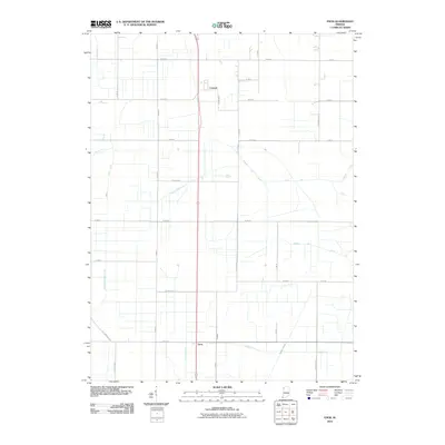
2010 Map of Enos
USGS Topo · Published 2010About this map
Enos and Conrad anchor this 2010 landscape in Newton County, defining a region where the natural hydrology has been heavily modified for agriculture. The terrain is characterized by an extensive network of drainage infrastructure, with features like Beaver Lake Ditch, Bogus Island Ditch, and Salisbury Ditch crisscrossing the plains to manage the former wetlands of the Kankakee Basin. This geometric precision of the landscape is further emphasized by the rigid grid of county roads, including W 600 N and N Meridian Rd.
Find a feature on this map
42 named features on this map. Tap any name to fly to it.
Don’t see what you’re looking for? This feature index may not catch every label — zoom into the map to look around manually.
Map Details
Editions of this 2010 Enos Map
This is the sole edition of this map. No revisions or reprints were ever made.
Other maps of this area

1922 · Momence
USGS Topo · 1:62,500

1924 · Momence
USGS Topo · 1:62,500

1935 · Watseka
USGS Topo · 1:48,000

1939 · Watseka
USGS Topo · 1:62,500

1953 · Chicago
USGS Topo · 1:250,000

1953 · Danville
USGS Topo · 1:250,000

1955 · Danville
USGS Topo · 1:250,000

1956 · Danville
USGS Topo · 1:250,000

1957 · Chicago
USGS Topo · 1:250,000

1959 · Schneider
USGS Topo · 1:24,000