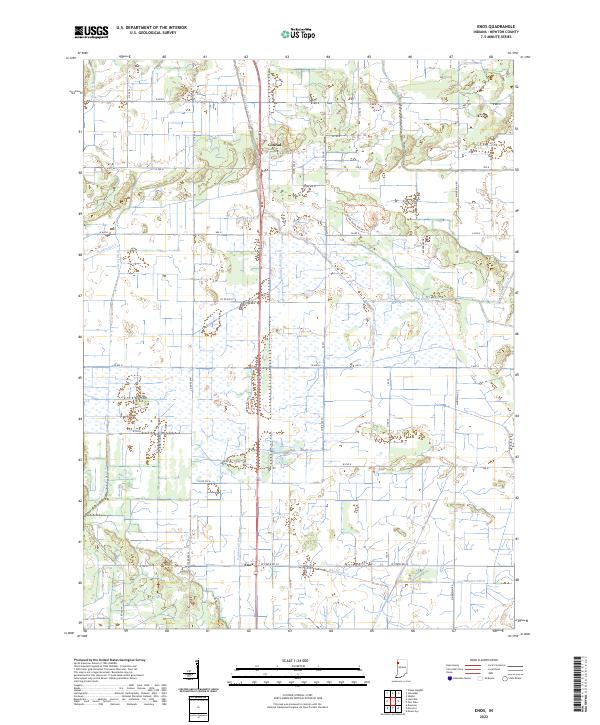
2022 Map of Enos
USGS Topo · Published 2022About this map
Conrad and Enos anchor this rural landscape in Newton County, where an intricate network of drainage systems defines the modern topography. The presence of numerous engineered channels, such as Bogus Island Ditch and Beaver Lake Ditch, points to a history of land reclamation and water management in a region once characterized by marshes. This complex hydrography includes smaller runs like Gregory Ditch and Hanger Ditch, which feed into larger systems like Beaver Cr. Modern conservation efforts are evident through the Kankakee Sands Project Trl, highlighting the shift from purely agricultural drainage toward environmental restoration. Local transport history is marked by the path of the Old Chicago Rd, while the persistent grid of county roads and section lines maintains the orderly settlement pattern of the Indiana prairie.
Find a feature on this map
20 named features on this map. Tap any name to fly to it.
Don’t see what you’re looking for? This feature index may not catch every label — zoom into the map to look around manually.
Map Details
Editions of this 2022 Enos Map
This is the sole edition of this map. No revisions or reprints were ever made.
Other maps of this area

1922 · Momence
USGS Topo · 1:62,500

1924 · Momence
USGS Topo · 1:62,500

1935 · Watseka
USGS Topo · 1:48,000

1939 · Watseka
USGS Topo · 1:62,500

1953 · Chicago
USGS Topo · 1:250,000

1953 · Danville
USGS Topo · 1:250,000

1955 · Danville
USGS Topo · 1:250,000

1956 · Danville
USGS Topo · 1:250,000

1957 · Chicago
USGS Topo · 1:250,000

1959 · Schneider
USGS Topo · 1:24,000