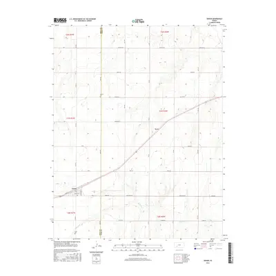
2016 Map of Ensign
USGS Topo · Published 2016About this map
Ensign serves as the primary hub of this High Plains landscape, situated at the junction of several county roads and local thoroughfares like Bent St and Leavenworth St. The terrain is defined by a grid of rural routes that facilitate agricultural movement across the Gray Co and Ford Co border. A notable diagonal corridor cuts through the landscape near Sayre, contrasting with the rigid north-south and east-west orientation of roads such as Outlaw Rd and Quaker Rd. For genealogists and local historians, the presence of the Johnson Cem to the north and Ensign Cem to the south provides important landmarks for tracing family heritage in this prairie region. The ephemeral path of Mulberry Creek winds through the southern portion of the quadrangle, representing the primary natural drainage in an otherwise highly structured rural grid.
Find a feature on this map
37 named features on this map. Tap any name to fly to it.
Don’t see what you’re looking for? This feature index may not catch every label — zoom into the map to look around manually.
Map Details
Editions of this 2016 Ensign Map
This is the sole edition of this map. No revisions or reprints were ever made.
Other maps of this area
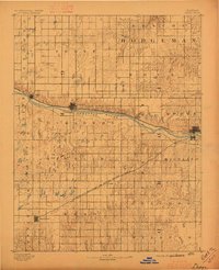
1892 · Dodge
USGS Topo · 1:125,000
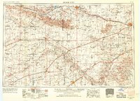
1955 · Dodge City
USGS Topo · 1:250,000
1958 · Dodge City
USGS Topo · 1:250,000
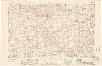
1959 · Dodge City
USGS Topo · 1:250,000
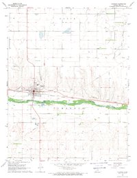
1968 · Cimarron
USGS Topo · 1:24,000
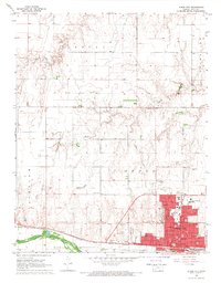
1968 · Dodge City
USGS Topo · 1:24,000
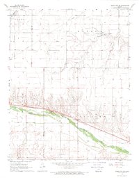
1968 · Dodge City SW
USGS Topo · 1:24,000
1969 · South Dodge
USGS Topo · 1:24,000
1969 · Haggard
USGS Topo · 1:24,000
1969 · Ensign
USGS Topo · 1:24,000