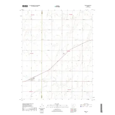
2018 Map of Ensign
USGS Topo · Published 2018About this map
Ensign sits at the southwestern corner of this survey, anchored by its small grid of streets including Bent St and Sheridan St. The landscape is defined by the open plains of the High Plains region, where the county line between Gray and Ford Counties cuts a vertical path through the terrain. To the north, the small settlement of Sayre appears along the highway, while the intermittent path of Mulberry Cr meanders through the southern sections. This area reflects the late 20th and early 21st-century agricultural character of western Kansas, marked by a systematic network of section roads with names like Outlaw Rd and Quaker Rd. Genealogists may find interest in the documented locations of Johnson Cem and Ensign Cem, which serve as quiet markers of the community's history across the decades.
Find a feature on this map
36 named features on this map. Tap any name to fly to it.
Don’t see what you’re looking for? This feature index may not catch every label — zoom into the map to look around manually.
Map Details
Editions of this 2018 Ensign Map
This is the sole edition of this map. No revisions or reprints were ever made.
Other maps of this area
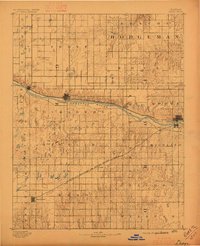
1892 · Dodge
USGS Topo · 1:125,000
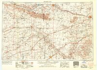
1955 · Dodge City
USGS Topo · 1:250,000
1958 · Dodge City
USGS Topo · 1:250,000
1959 · Dodge City
USGS Topo · 1:250,000
1968 · Cimarron
USGS Topo · 1:24,000
1968 · Dodge City
USGS Topo · 1:24,000
1968 · Dodge City SW
USGS Topo · 1:24,000
1969 · South Dodge
USGS Topo · 1:24,000
1969 · Haggard
USGS Topo · 1:24,000
1969 · Ensign
USGS Topo · 1:24,000