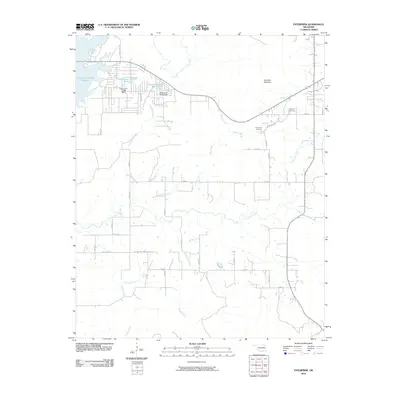
2010 Map of Enterprise
USGS Topo · Published 2010About this map
Brooken Mountain rises above a landscape defined by an intricate network of water and rural access roads in this 2010 survey of Pittsburg County. The northern section of the map is dominated by a chain of managed water bodies, including Oknoname 131007 Reservoir, Oknoname 121003 Reservoir, and Oknoname 121015 Reservoir, regulated by the Oknoname 121003 Dam and Oknoname 121015 Dam. These features illustrate the modern hydraulic engineering common across Oklahoma's timbered hills.
Find a feature on this map
34 named features on this map. Tap any name to fly to it.
Don’t see what you’re looking for? This feature index may not catch every label — zoom into the map to look around manually.
Map Details
Editions of this 2010 Enterprise Map
This is the sole edition of this map. No revisions or reprints were ever made.
Other maps of this area

1900 · Sansbois
USGS Topo · 1:125,000

1900 · Canadian
USGS Topo · 1:125,000

1909 · Sans Bois
USGS Topo · 1:125,000

1911 · Sansbois
USGS Topo · 1:125,000

1946 · Fort Smith
USGS Topo · 1:250,000

1963 · Porum
USGS Topo · 1:24,000

1963 · Eufaula
USGS Topo · 1:24,000

1963 · Texanna
USGS Topo · 1:24,000

1965 · Fort Smith
USGS Topo · 1:250,000

1967 · Fort Smith
USGS Topo · 1:250,000