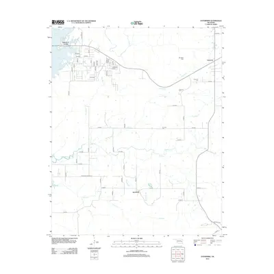
2012 Map of Enterprise
USGS Topo · Published 2012About this map
Eufaula Lake defines the western edge of this landscape, where the Highway 9 Landing provides access to the water near a network of residential roads like Indian Ln and Kelso Rd. Further east, the settlement of Enterprise is situated near the slopes of Brooken Mtn, a prominent landform that shapes the local drainage of Brooken Cr and Bear Cr. The area reflects a rural Oklahoma character with dispersed communities and agricultural infrastructure, evidenced by Russellville to the south and the Ware Farm Landing Fld. Genealogists and local historians can locate established burial sites such as Enterprise Cem and W Liberty Cem, which serve as physical anchors for the families living along the many numbered county routes and creek branches like Longtown Cr and Emachaya Cr.
Find a feature on this map
55 named features on this map. Tap any name to fly to it.
Don’t see what you’re looking for? This feature index may not catch every label — zoom into the map to look around manually.
Map Details
Editions of this 2012 Enterprise Map
This is the sole edition of this map. No revisions or reprints were ever made.
Other maps of this area
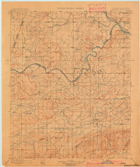
1900 · Sansbois
USGS Topo · 1:125,000
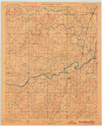
1900 · Canadian
USGS Topo · 1:125,000
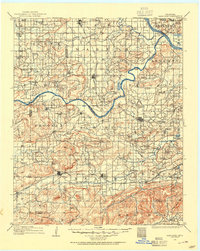
1909 · Sans Bois
USGS Topo · 1:125,000
1911 · Sansbois
USGS Topo · 1:125,000
1946 · Fort Smith
USGS Topo · 1:250,000
1963 · Porum
USGS Topo · 1:24,000
1963 · Eufaula
USGS Topo · 1:24,000
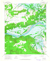
1963 · Texanna
USGS Topo · 1:24,000
1965 · Fort Smith
USGS Topo · 1:250,000
1967 · Fort Smith
USGS Topo · 1:250,000