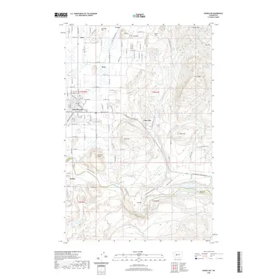
2020 Map of Enumclaw
USGS Topo · Published 2020About this map
Enumclaw serves as the primary urban center in this modern topographic view of the plateau, where the street grid of Buckley sits just across the White River to the south. The landscape is defined by the sharp transition from the valley floor to the prominent rising terrain of Grass Mtn, Enumclaw Mtn, and Boise Ridge to the east. Smaller, historical settlement names such as Veazie, Birch, and Krain persist in the north, marking earlier agricultural or rural clusters along the arterial road network.
Find a feature on this map
64 named features on this map. Tap any name to fly to it.
Don’t see what you’re looking for? This feature index may not catch every label — zoom into the map to look around manually.
Map Details
Editions of this 2020 Enumclaw Map
This is the sole edition of this map. No revisions or reprints were ever made.
Other maps of this area

1897 · Tacoma
USGS Topo · 1:125,000

1900 · Tacoma
USGS Topo · 1:125,000

1913 · Cedar Lake
USGS Topo · 1:125,000

1942 · Lake Tapps
USGS Topo · 1:62,500

1944 · Lake Tapps
USGS Topo · 1:62,500

1949 · Black Diamond
USGS Topo · 1:24,000

1953 · Eagle Gorge
USGS Topo · 1:24,000

1953 · Cumberland
USGS Topo · 1:24,000
1956 · Buckley
USGS Topo · 1:24,000
1956 · Wilkeson
USGS Topo · 1:24,000