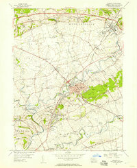
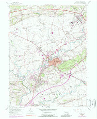
1956 Map of Ephrata
USGS Topo · Published 1957About this map
Ephrata Mountain rises above a landscape defined by the convergence of the Reading railroad and the winding Cocalico Creek. This mid-century Pennsylvania Dutch country reflects a dense network of township life, where community identity is anchored by small crossroad settlements and an extraordinary number of local institutions. Schools such as the Cocalico Union Sch and Fetter Sch are scattered across the boroughs and townships, alongside numerous houses of worship like Mohlers Ch and Indiantown Ch.
Find a feature on this map
79 named features on this map. Tap any name to fly to it.
Don’t see what you’re looking for? This feature index may not catch every label — zoom into the map to look around manually.
Map Details
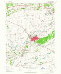
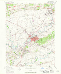
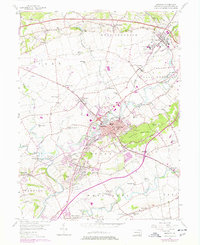
Editions of this 1956 Ephrata Map
5 editions found
Other maps of this area

1891 · Lebanon
USGS Topo · 1:62,500

1893 · Lebanon
USGS Topo · 1:62,500

1899 · Lebanon
USGS Topo · 1:62,500

1902 · Wernersville
USGS Topo · 1:62,500

1902 · Lancaster
USGS Topo · 1:62,500

1904 · Lancaster
USGS Topo · 1:62,500

1906 · New Holland
USGS Topo · 1:62,500

1908 · New Holland
USGS Topo · 1:62,500

1941 · New Holland
USGS Topo · 1:62,500

1943 · Lancaster
USGS Topo · 1:62,500