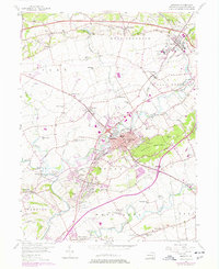
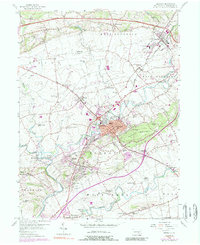
1956 Map of Ephrata
USGS Topo · Published 1978About this map
Ephrata serves as the central hub of this 1950s landscape, which was later updated in the 1970s to reflect postwar suburban expansion and road developments like the Pennsylvania Turnpike. The map reveals a dense network of small communities and rural intersections, including Schoeneck, Indiantown, and Reamstown, connected by early routes such as the Oregon Pike. The terrain is defined by the valley of Cocalico Creek and the rising ground of Ephrata Mountain to the east.
Find a feature on this map
71 named features on this map. Tap any name to fly to it.
Don’t see what you’re looking for? This feature index may not catch every label — zoom into the map to look around manually.
Map Details
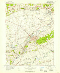
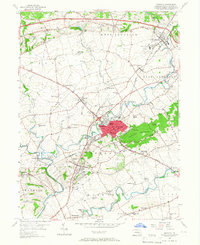
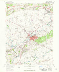
Editions of this 1956 Ephrata Map
5 editions found
Other maps of this area

1891 · Lebanon
USGS Topo · 1:62,500

1893 · Lebanon
USGS Topo · 1:62,500

1899 · Lebanon
USGS Topo · 1:62,500

1902 · Wernersville
USGS Topo · 1:62,500

1902 · Lancaster
USGS Topo · 1:62,500

1904 · Lancaster
USGS Topo · 1:62,500

1906 · New Holland
USGS Topo · 1:62,500

1908 · New Holland
USGS Topo · 1:62,500

1941 · New Holland
USGS Topo · 1:62,500

1943 · Lancaster
USGS Topo · 1:62,500