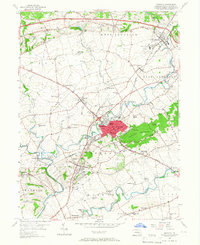
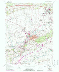
1956 Map of Ephrata
USGS Topo · Published 1966About this map
Ephrata and its surrounding boroughs are defined by a complex network of mid-century infrastructure and traditional rural settlements. The northern portion of the sheet is bisected by the Pennsylvania Turnpike, while the Reading railroad lines connect industrial points like Akron and Denver. Waterways such as Cocalico Creek and Conestoga Creek wind through a landscape dotted with numerous district schools, including Washington Sch and Fulton Sch, reflecting the community-centric organization of Lancaster County before the era of major school consolidation.
Find a feature on this map
82 named features on this map. Tap any name to fly to it.
Don’t see what you’re looking for? This feature index may not catch every label — zoom into the map to look around manually.
Map Details
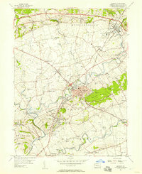
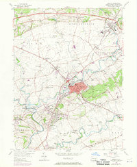
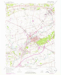
Editions of this 1956 Ephrata Map
5 editions found
Other maps of this area

1891 · Lebanon
USGS Topo · 1:62,500

1893 · Lebanon
USGS Topo · 1:62,500

1899 · Lebanon
USGS Topo · 1:62,500

1902 · Wernersville
USGS Topo · 1:62,500

1902 · Lancaster
USGS Topo · 1:62,500

1904 · Lancaster
USGS Topo · 1:62,500

1906 · New Holland
USGS Topo · 1:62,500

1908 · New Holland
USGS Topo · 1:62,500

1941 · New Holland
USGS Topo · 1:62,500

1943 · Lancaster
USGS Topo · 1:62,500