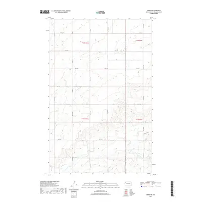
2017 Map of Epping NW
USGS Topo · Published 2017About this map
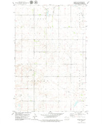
The rolling plains of northwestern North Dakota are captured in this 2017 survey, where a strict section-line road grid organizes the landscape of Williams County. The E Fork Little Muddy River meanders across the southern portion of the sheet, providing a natural break in the geometric alignment of routes like Co Hwy 11 and Co 10. This area is characterized by scattered wetlands and small potholes, typical of the Missouri Plateau's glacial topography. For researchers tracing local heritage, the Bethany Valley Cem stands as a significant landmark in the eastern reaches, marking a site of community memory amidst the agricultural and ranching terrain. The map meticulously documents the transition from the high prairie flats to the more varied drainage patterns near the river, illustrating the intersection of modern infrastructure and traditional land divisions.
Find a feature on this map
17 named features on this map. Tap any name to fly to it.
Don’t see what you’re looking for? This feature index may not catch every label — zoom into the map to look around manually.
Map Details
Editions of this 2017 Epping NW Map
This is the sole edition of this map. No revisions or reprints were ever made.
Other maps of this area
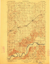
1911 · Ray
USGS Topo · 1:125,000

1953 · Williston
USGS Topo · 1:250,000

1957 · Williston
USGS Topo · 1:250,000
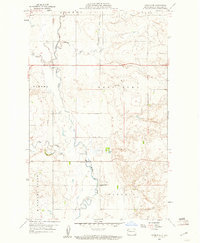
1959 · Marmon SE
USGS Topo · 1:24,000
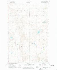
1974 · Twin Lakes
USGS Topo · 1:24,000
1977 · Appam
USGS Topo · 1:24,000
1977 · Alamo
USGS Topo · 1:24,000
1978 · Corinth
USGS Topo · 1:24,000
1978 · Epping NW
USGS Topo · 1:24,000
1978 · Epping NE
USGS Topo · 1:24,000