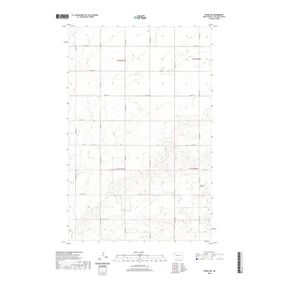
2020 Map of Epping NW
USGS Topo · Published 2020About this map
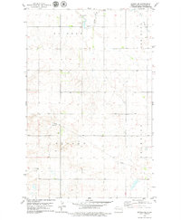
The rolling prairies of Williams County are defined here by a systematic grid of section lines and rural corridors, including the prominent Co Hwy 11 and 130th Ave NW. This survey reflects the enduring structure of the Public Land Survey System, where townships like t158n r99w and t157n r98w organize the high plains landscape into regular parcels. Scattered wetlands and depressions punctuate the terrain, particularly in the northern reaches above 73rd St NW, suggesting a landscape of prairie potholes that influence local drainage and road placement.
Find a feature on this map
22 named features on this map. Tap any name to fly to it.
Don’t see what you’re looking for? This feature index may not catch every label — zoom into the map to look around manually.
Map Details
Editions of this 2020 Epping NW Map
This is the sole edition of this map. No revisions or reprints were ever made.
Other maps of this area
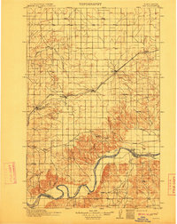
1911 · Ray
USGS Topo · 1:125,000

1953 · Williston
USGS Topo · 1:250,000

1957 · Williston
USGS Topo · 1:250,000
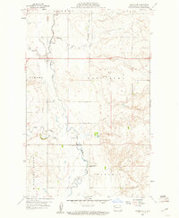
1959 · Marmon SE
USGS Topo · 1:24,000
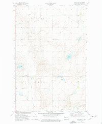
1974 · Twin Lakes
USGS Topo · 1:24,000
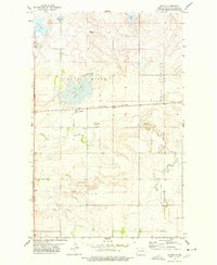
1977 · Appam
USGS Topo · 1:24,000
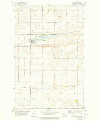
1977 · Alamo
USGS Topo · 1:24,000
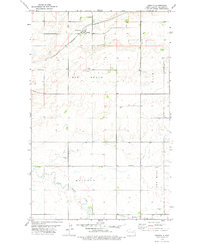
1978 · Corinth
USGS Topo · 1:24,000
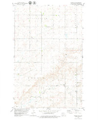
1978 · Epping NW
USGS Topo · 1:24,000
1978 · Epping NE
USGS Topo · 1:24,000