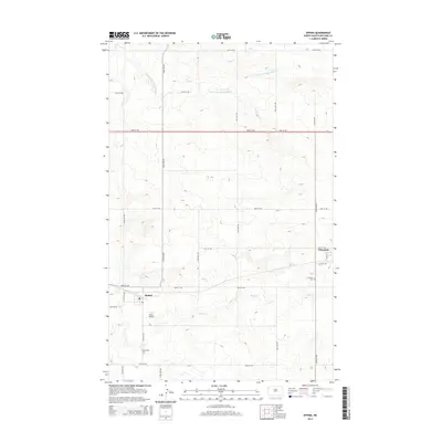
2014 Map of Epping
USGS Topo · Published 2014About this map
Epping and Wheelock anchor this section of the North Dakota prairie, illustrating the enduring grid of the High Plains. The landscape is defined by the drainage of Stony Cr in the south and the E Fork Little Muddy River to the north, which carve subtle relief into the agricultural plateau. For those tracing family ties to the region, the map locates the Epping Cem and Wheelock Cem, providing essential points of reference for local genealogy.
Find a feature on this map
24 named features on this map. Tap any name to fly to it.
Don’t see what you’re looking for? This feature index may not catch every label — zoom into the map to look around manually.
Map Details
Editions of this 2014 Epping Map
This is the sole edition of this map. No revisions or reprints were ever made.
Other maps of this area
1911 · Ray
USGS Topo · 1:125,000
1953 · Williston
USGS Topo · 1:250,000
1957 · Williston
USGS Topo · 1:250,000
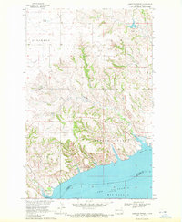
1969 · Cussicks Spring
USGS Topo · 1:24,000
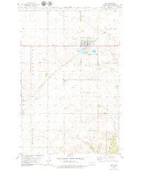
1978 · Ray
USGS Topo · 1:24,000
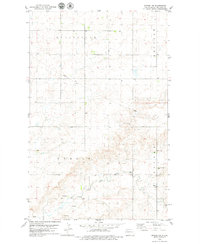
1978 · Epping NW
USGS Topo · 1:24,000
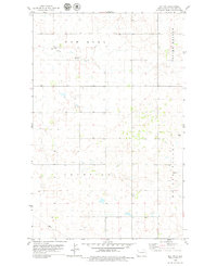
1978 · Ray NW
USGS Topo · 1:24,000
1978 · Epping NE
USGS Topo · 1:24,000
1978 · Epping
USGS Topo · 1:24,000
1978 · Spring Brook
USGS Topo · 1:24,000