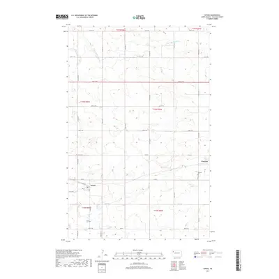
2017 Map of Epping
USGS Topo · Published 2017About this map
Epping and Wheelock anchor this section of Williams County, reflecting the enduring grid of the High Plains agricultural landscape. The terrain is defined by the drainage systems of the E Fork Little Muddy River in the north and Stony Cr to the south, which carve gentle undulations into the prairie. Local history is centered on the township squares, where established landmarks like the Epping Cem and Wheelock Cem serve as vital points for genealogical research. The presence of a Po in Epping indicates its role as a local service hub, while the network of section-line roads, including Co Hwy 42 and Co Rd 15, shows how the community remained connected across the wide-open reaches of northwestern North Dakota into the early twenty-first century.
Find a feature on this map
35 named features on this map. Tap any name to fly to it.
Don’t see what you’re looking for? This feature index may not catch every label — zoom into the map to look around manually.
Map Details
Editions of this 2017 Epping Map
This is the sole edition of this map. No revisions or reprints were ever made.
Other maps of this area
1911 · Ray
USGS Topo · 1:125,000
1953 · Williston
USGS Topo · 1:250,000
1957 · Williston
USGS Topo · 1:250,000
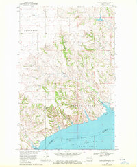
1969 · Cussicks Spring
USGS Topo · 1:24,000
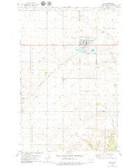
1978 · Ray
USGS Topo · 1:24,000
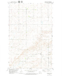
1978 · Epping NW
USGS Topo · 1:24,000
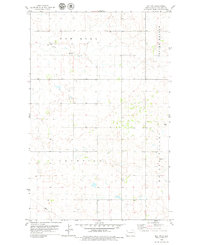
1978 · Ray NW
USGS Topo · 1:24,000
1978 · Epping NE
USGS Topo · 1:24,000
1978 · Epping
USGS Topo · 1:24,000
1978 · Spring Brook
USGS Topo · 1:24,000