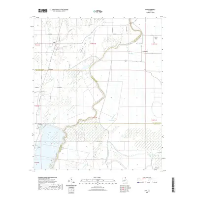
2024 Map of Epps
USGS Topo · Published 2024About this map
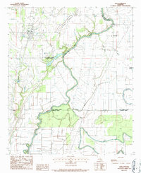
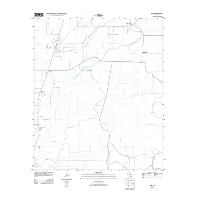
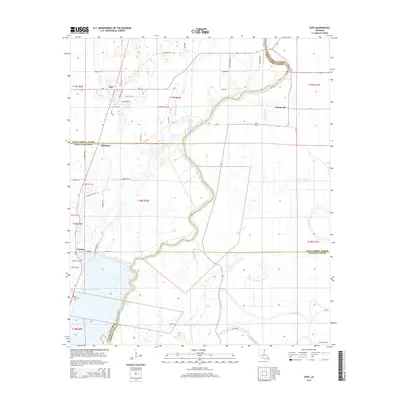
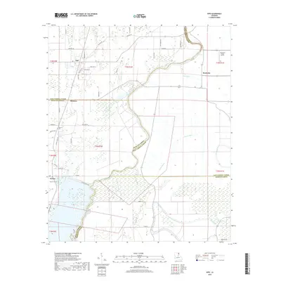
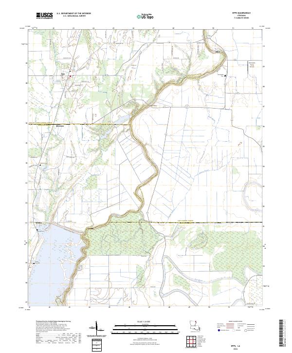
Bayou Macon winds through this section of Louisiana, serving as the defining border between West Carroll and East Carroll parishes. The town of Epps is the primary settlement, situated at the junction of Powell Rd and Parish Rd 118, where a grid of local streets like Locust St and Woodlawn St centers the community. The landscape is characterized by a dense network of watercourses, including Alligator Bayou, Cypress Bayou, and Joes Bayou, which historically shaped the agricultural and transport patterns of the region.
Find a feature on this map
58 named features on this map. Tap any name to fly to it.
Don’t see what you’re looking for? This feature index may not catch every label — zoom into the map to look around manually.
Map Details
Editions of this 2024 Epps Map
This is the sole edition of this map. No revisions or reprints were ever made.
Historical Maps of Epps Through Time
6 maps found