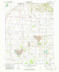
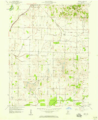
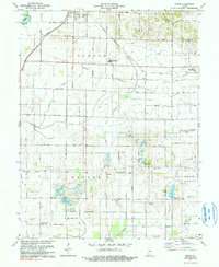
1978 Map of Epsom
USGS Topo · Published 1979This historical map portrays the area of Epsom in 1978, primarily covering Daviess County as well as portions of Knox County. Featuring a scale of 1:24000, this map provides a highly detailed snapshot of the terrain, roads, buildings, counties, and historical landmarks in the Epsom region at the time. Published in 1979, it is one of 2 known editions of this map due to revisions or reprints.
Find a feature on this map
39 named features on this map. Tap any name to fly to it.
Don’t see what you’re looking for? This feature index may not catch every label — zoom into the map to look around manually.
Map Details
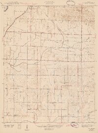
Editions of this 1978 Epsom Map
2 editions found
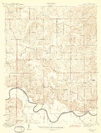
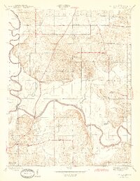
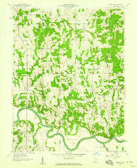
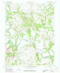
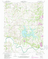
Historical Maps of Knox County Through Time
11 maps found
1943 Epsom
Daviess County, IN
1944 Glendale
Daviess County, IN
1945 Sandy Hook
Daviess County, IN
1957 Epsom
Daviess County, IN
1958 Glendale
Daviess County, IN
1958 Sandy Hook
Daviess County, IN
1974 Glendale
Daviess County, IN
1978 Epsom
Daviess County, IN
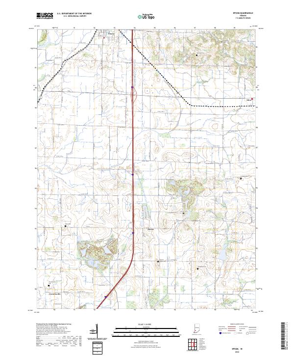
2022 Epsom
Daviess County, IN
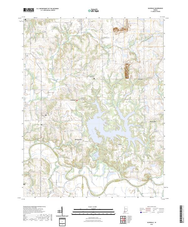
2022 Glendale
Daviess County, IN
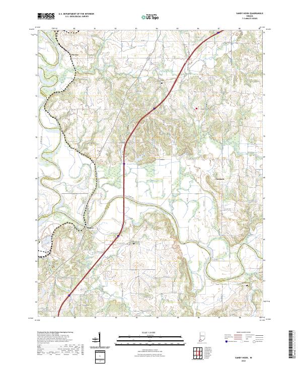
2022 Sandy Hook
Daviess County, IN