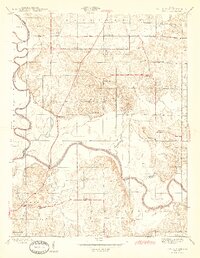
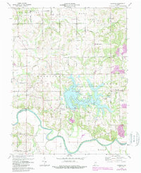
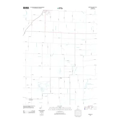
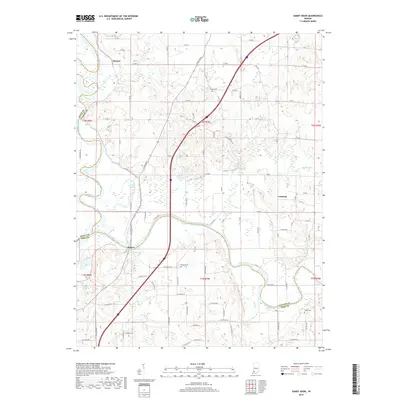
1978 Map of Epsom
USGS Topo · Published 1990About this map
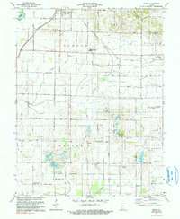
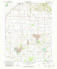
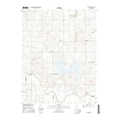
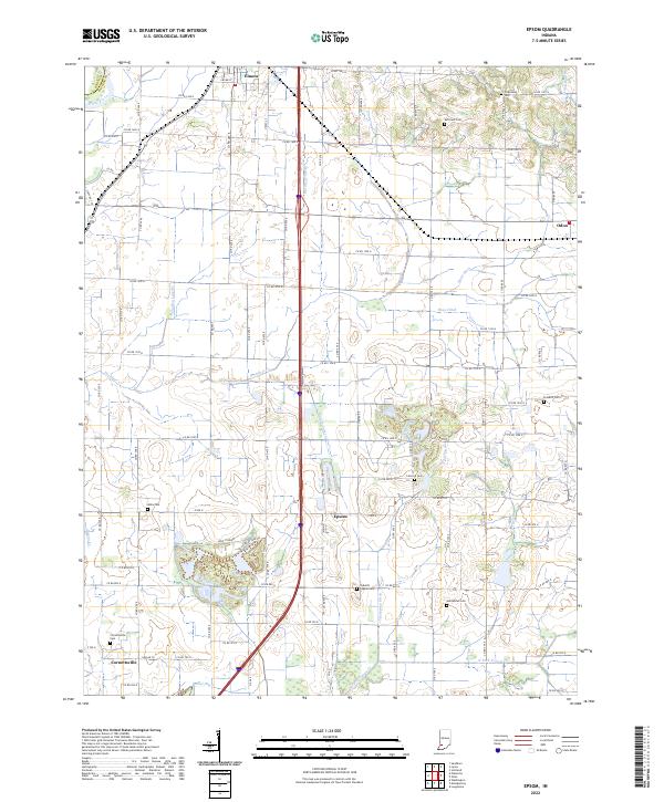
The White River defines the western edge of this Daviess County landscape, where the settlements of Elnora and Odon serve as anchor points for a rural economy undergoing significant industrial change. While agriculture remains prominent, particularly in the northern reaches of Elmore and Madison townships, the presence of several large Strip Mine operations near Epsom and Bogard illustrates the mid-century shift toward resource extraction.
Find a feature on this map
45 named features on this map. Tap any name to fly to it.
Don’t see what you’re looking for? This feature index may not catch every label — zoom into the map to look around manually.
Map Details
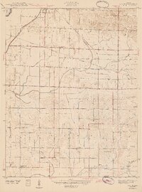
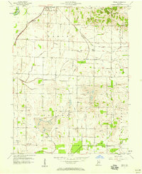
Editions of this 1978 Epsom Map
2 editions found
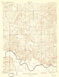
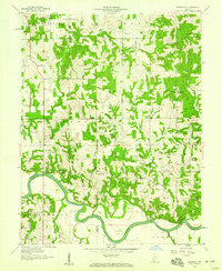
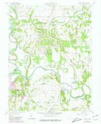
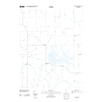
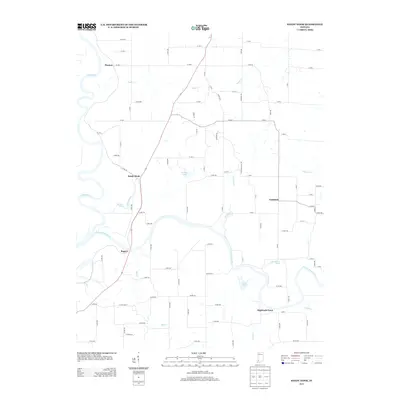
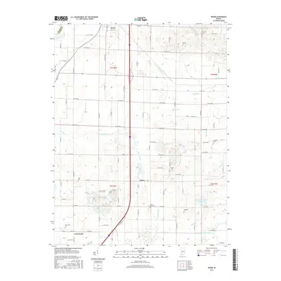
Historical Maps of Odon Through Time
23 maps found
1943 Epsom
Daviess County, IN
1944 Glendale
Daviess County, IN
1945 Sandy Hook
Daviess County, IN
1957 Epsom
Daviess County, IN
1958 Glendale
Daviess County, IN
1958 Sandy Hook
Daviess County, IN
1974 Glendale
Daviess County, IN
1978 Epsom
Daviess County, IN
2010 Epsom
Daviess County, IN
2010 Glendale
Daviess County, IN
2010 Sandy Hook
Daviess County, IN
2013 Epsom
Daviess County, IN
2013 Glendale
Daviess County, IN
2013 Sandy Hook
Daviess County, IN
2016 Epsom
Daviess County, IN
2016 Glendale
Daviess County, IN
2016 Sandy Hook
Daviess County, IN
2019 Epsom
Daviess County, IN
2019 Glendale
Daviess County, IN
2019 Sandy Hook
Daviess County, IN
2022 Epsom
Daviess County, IN
2022 Glendale
Daviess County, IN
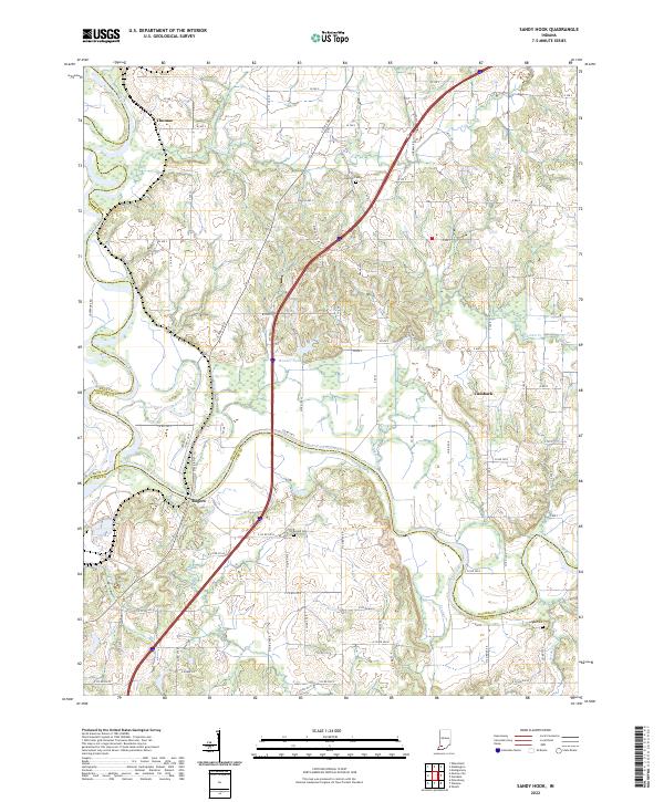
2022 Sandy Hook
Daviess County, IN