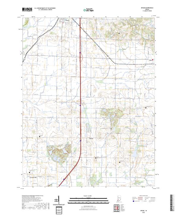
2022 Map of Epsom
USGS Topo · Published 2022About this map
The agricultural landscape of northern Daviess County is defined by a dense network of drainage systems such as Epsom Lateral and Findley Lateral that support the fertile plains between Elnora and Odon. This 2022 survey reveals a geography deeply tied to its rural heritage, where small settlements like Epsom and Cornettsville serve as local anchors. The map provides significant value for genealogists, documenting numerous family and community burial grounds including Talbotts Chapel Cem, Humphries Cem, and Ketchem Cem.
Find a feature on this map
76 named features on this map. Tap any name to fly to it.
Don’t see what you’re looking for? This feature index may not catch every label — zoom into the map to look around manually.
Map Details
Editions of this 2022 Epsom Map
This is the sole edition of this map. No revisions or reprints were ever made.
Other maps of this area

1943 · Lyons
USGS Topo · 1:24,000

1943 · Sandborn
USGS Topo · 1:24,000

1943 · Plainville
USGS Topo · 1:24,000

1943 · Epsom
USGS Topo · 1:24,000

1944 · Montgomery
USGS Topo · 1:24,000

1944 · Washington
USGS Topo · 1:24,000

1950 · Odon
USGS Topo · 1:24,000

1956 · Loogootee
USGS Topo · 1:24,000

1956 · Vincennes
USGS Topo · 1:250,000

1957 · Vincennes
USGS Topo · 1:250,000