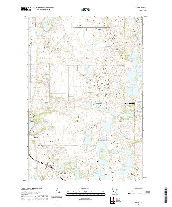
2022 Map of Erdahl
USGS Topo · Published 2022About this map
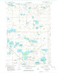
Glacial geology defines this portion of Grant County, where the unincorporated settlement of Erdahl sits amidst a dense concentration of small basins and wetlands. The landscape is characterized by its numerous named bodies of water, from the larger Barrett Lake and Ellingson Lake to more localized features like Schmall Marsh and Willow Slough. The Chippewa River meanders through the southern half of the quadrangle, south of the village of Barrett.
Find a feature on this map
57 named features on this map. Tap any name to fly to it.
Don’t see what you’re looking for? This feature index may not catch every label — zoom into the map to look around manually.
Map Details
Editions of this 2022 Erdahl Map
This is the sole edition of this map. No revisions or reprints were ever made.
Historical Maps of Erdahl Through Time
14 maps found
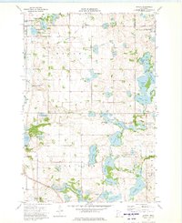
1973 Erdahl
Grant County, MN
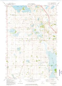
1973 Fourmile Lake
Grant County, MN
1973 Herman NW
Grant County, MN
1973 Niemackl Lakes
Grant County, MN
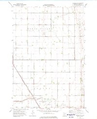
1973 Patchen Lake
Grant County, MN
1973 Stony Lake
Grant County, MN
1973 Trisko Lake
Grant County, MN
2022 Erdahl
Grant County, MN
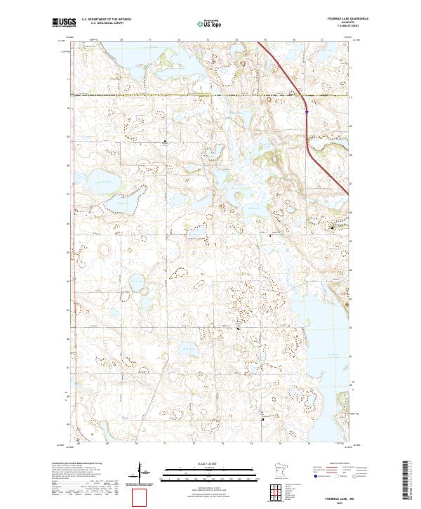
2022 Fourmile Lake
Grant County, MN
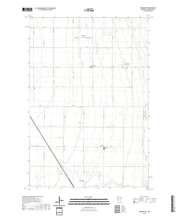
2022 Herman NW
Grant County, MN
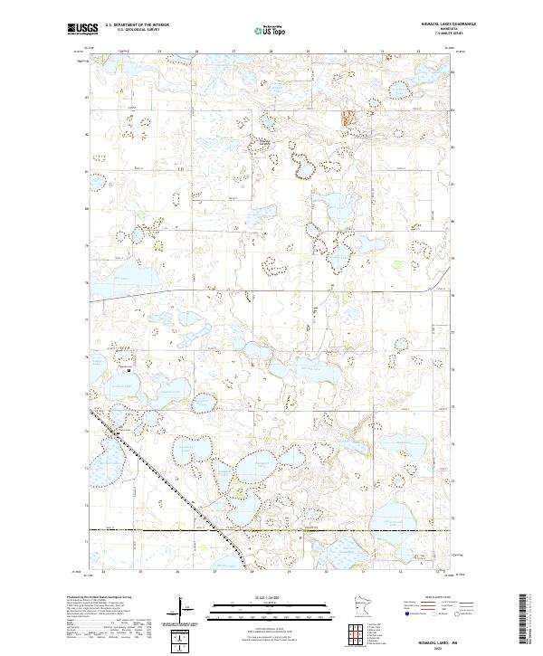
2022 Niemackl Lakes
Grant County, MN
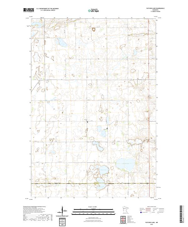
2022 Patchen Lake
Grant County, MN
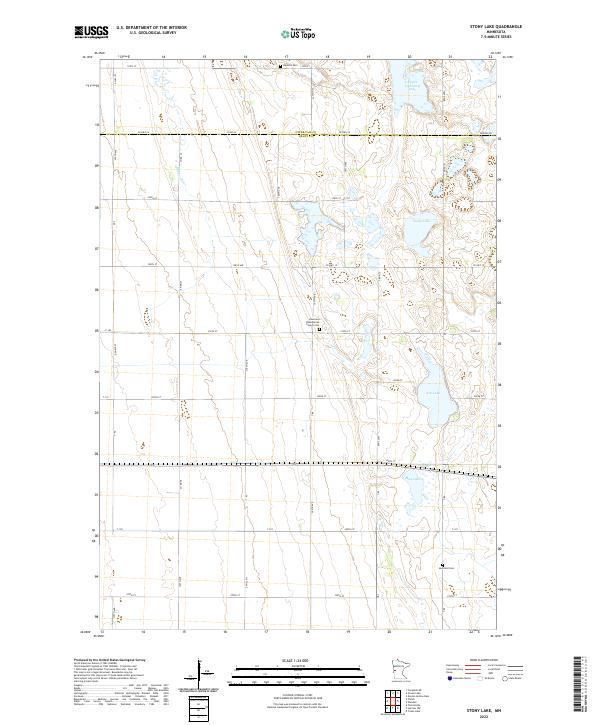
2022 Stony Lake
Grant County, MN
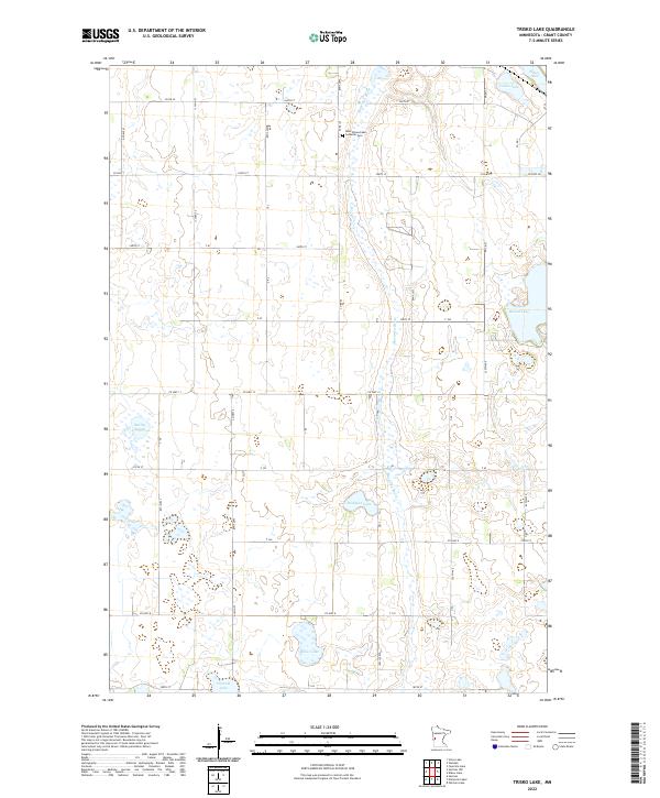
2022 Trisko Lake
Grant County, MN