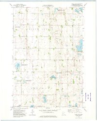
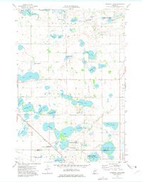
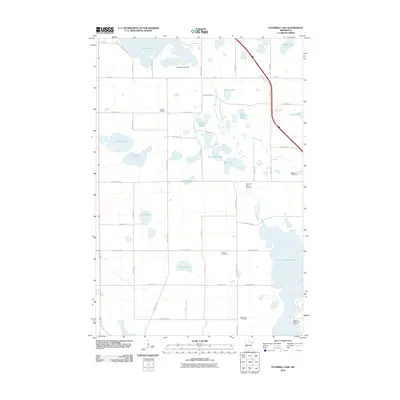
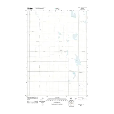
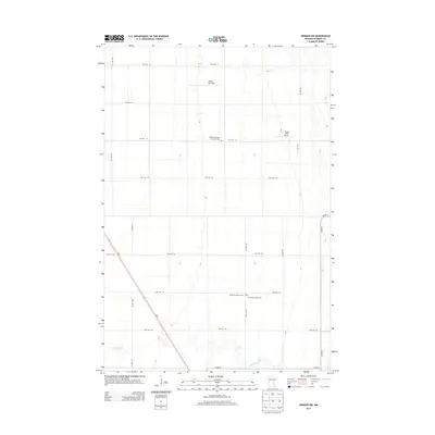
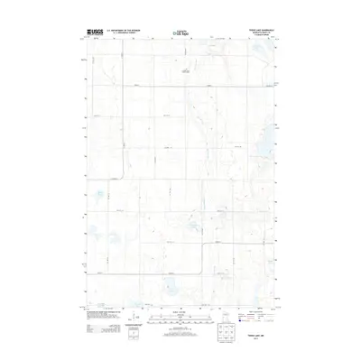
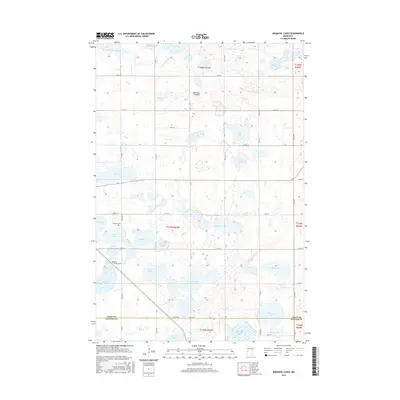
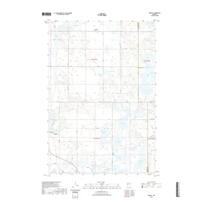
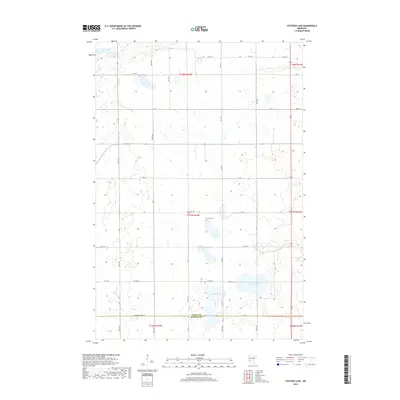
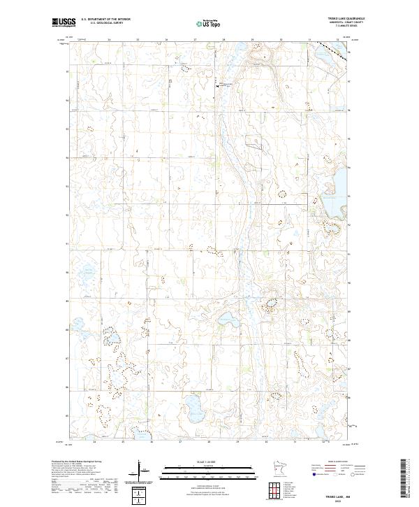
1973 Map of Trisko Lake
USGS Topo · Published 1975About this map
West Elbow Lake Ch stands as a focal point for this rural landscape in western Minnesota, located near the township boundaries of Elbow Lake, Sanford, and Delaware. The area is defined by its glaciated topography, featuring numerous basins and wetlands including Trisko Lake, Huset Lake, and Hodgson Lake. The Mustinka River winds through the central and southern portions of the map, feeding into the Mustinka Flowage and Bailey Slough.
Find a feature on this map
20 named features on this map. Tap any name to fly to it.
Don’t see what you’re looking for? This feature index may not catch every label — zoom into the map to look around manually.
Map Details
Editions of this 1973 Trisko Lake Map
This is the sole edition of this map. No revisions or reprints were ever made.
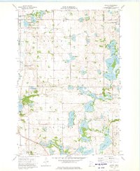
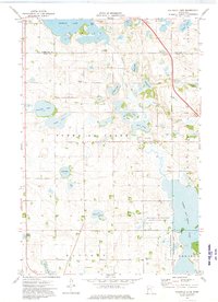
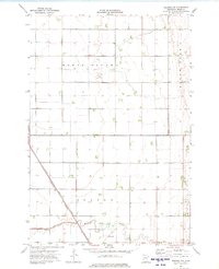
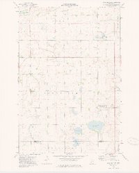
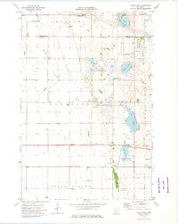
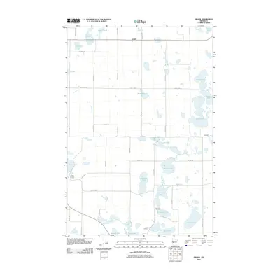
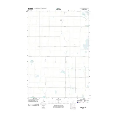
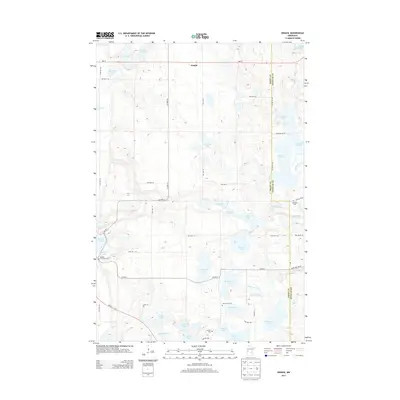
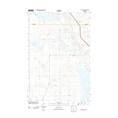
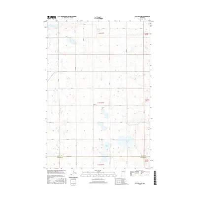
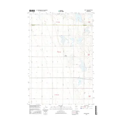
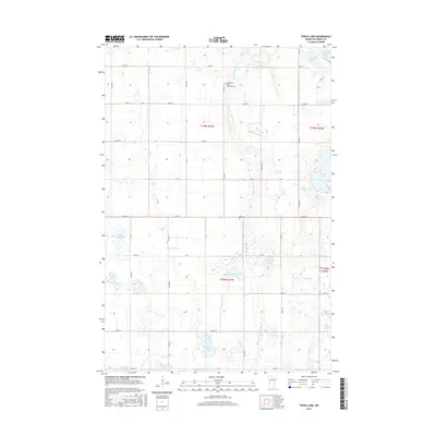
Historical Maps of Grant County Through Time
42 maps found
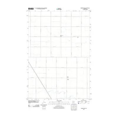
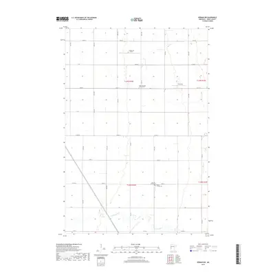
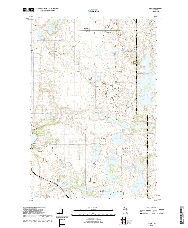
1973 Erdahl
Grant County, MN
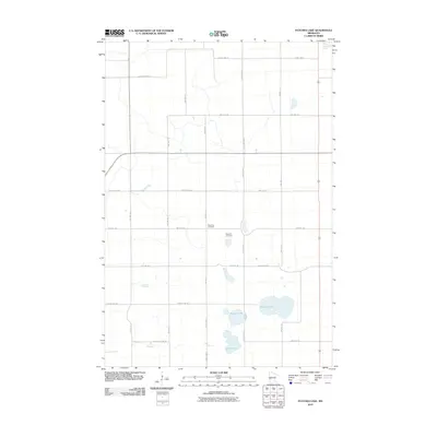
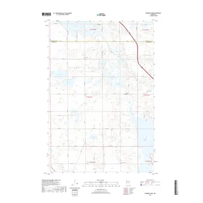
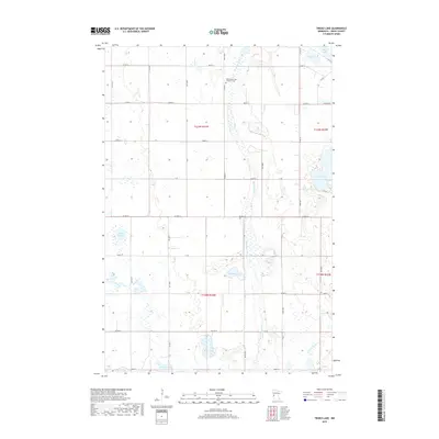
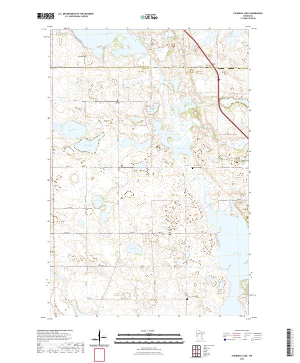
1973 Fourmile Lake
Grant County, MN
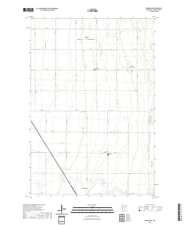
1973 Herman NW
Grant County, MN
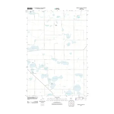
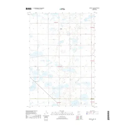
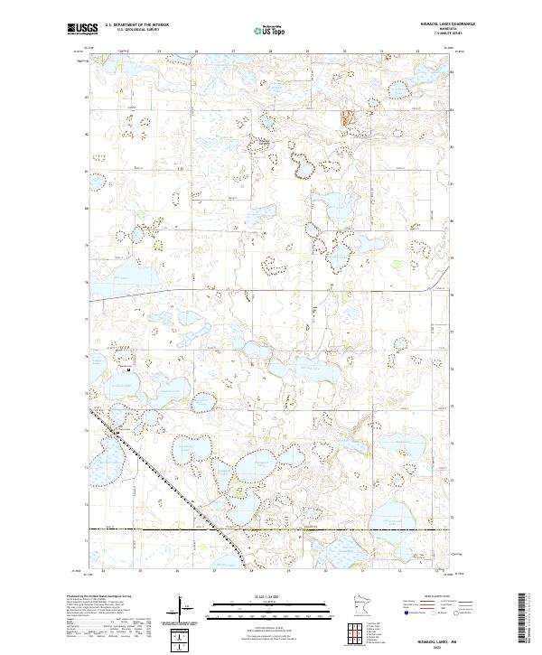
1973 Niemackl Lakes
Grant County, MN
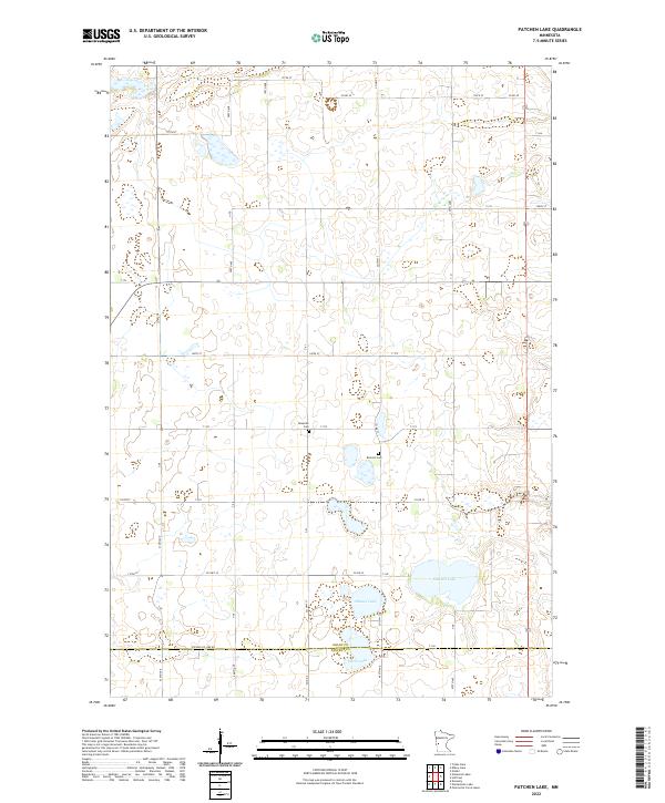
1973 Patchen Lake
Grant County, MN
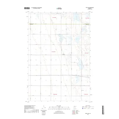
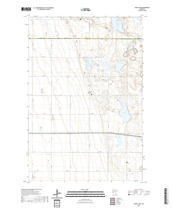
1973 Stony Lake
Grant County, MN
1973 Trisko Lake
Grant County, MN
2010 Erdahl
Grant County, MN
2010 Fourmile Lake
Grant County, MN
2010 Herman NW
Grant County, MN
2010 Niemackl Lakes
Grant County, MN
2010 Patchen Lake
Grant County, MN
2010 Stony Lake
Grant County, MN
2010 Trisko Lake
Grant County, MN
2013 Erdahl
Grant County, MN
2013 Fourmile Lake
Grant County, MN
2013 Herman NW
Grant County, MN
2013 Niemackl Lakes
Grant County, MN
2013 Patchen Lake
Grant County, MN
2013 Stony Lake
Grant County, MN
2013 Trisko Lake
Grant County, MN
2016 Erdahl
Grant County, MN
2016 Fourmile Lake
Grant County, MN
2016 Herman NW
Grant County, MN
2016 Niemackl Lakes
Grant County, MN
2016 Patchen Lake
Grant County, MN
2016 Stony Lake
Grant County, MN
2016 Trisko Lake
Grant County, MN
2019 Erdahl
Grant County, MN
2019 Fourmile Lake
Grant County, MN
2019 Herman NW
Grant County, MN
2019 Niemackl Lakes
Grant County, MN
2019 Patchen Lake
Grant County, MN
2019 Stony Lake
Grant County, MN
2019 Trisko Lake
Grant County, MN
2022 Erdahl
Grant County, MN
2022 Fourmile Lake
Grant County, MN
2022 Herman NW
Grant County, MN
2022 Niemackl Lakes
Grant County, MN
2022 Patchen Lake
Grant County, MN
2022 Stony Lake
Grant County, MN
2022 Trisko Lake
Grant County, MN