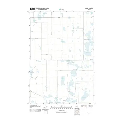
2010 Map of Erdahl
USGS Topo · Published 2010About this map
The Chippewa River winds through this Grant County landscape, connecting a dense network of glacial lakes and wetlands characteristic of west-central Minnesota. The small settlement of Erdahl serves as a central point in a region defined by its water bodies, including the expansive Solberg Lake, Barrett Lake, and the smaller Sylvan Lake. The terrain is marked by family-named landmarks like Thorstad Lake and Malmgren Lake, reflecting the local heritage of the surrounding townships.
Find a feature on this map
57 named features on this map. Tap any name to fly to it.
Don’t see what you’re looking for? This feature index may not catch every label — zoom into the map to look around manually.
Map Details
Editions of this 2010 Erdahl Map
This is the sole edition of this map. No revisions or reprints were ever made.
Other maps of this area

1911 · Barrett
USGS Topo · 1:62,500

1913 · Ashby
USGS Topo · 1:62,500

1953 · Brainerd
USGS Topo · 1:250,000

1953 · Saint Cloud
USGS Topo · 1:250,000

1957 · Brainerd
USGS Topo · 1:250,000

1957 · Saint Cloud
USGS Topo · 1:250,000

1958 · Saint Cloud
USGS Topo · 1:250,000

1958 · Brainerd
USGS Topo · 1:250,000

1965 · Brainerd
USGS Topo · 1:250,000

1966 · Kensington
USGS Topo · 1:24,000