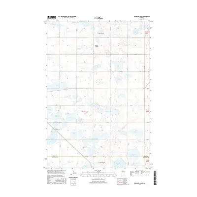
2016 Map of Niemackl Lakes
USGS Topo · Published 2016About this map
Niemackl Lakes and the surrounding prairie wetlands define this corner of the Minnesota landscape, where the Mustinka River and Mustinka Flowage drain toward the southwest. This 2016 survey captures a rural environment characterized by a dense network of glacial basins, ranging from the seasonally dry Hazzard Lakebed to permanent water bodies like Graham Lake and Ohlsrud Lake. The map reveals a highly structured township-and-range grid, with gravel roads like Co RD 33 and 170th St providing access to isolated farmsteads and agricultural plots.
Find a feature on this map
42 named features on this map. Tap any name to fly to it.
Don’t see what you’re looking for? This feature index may not catch every label — zoom into the map to look around manually.
Map Details
Editions of this 2016 Niemackl Lakes Map
This is the sole edition of this map. No revisions or reprints were ever made.
Other maps of this area

1910 · Chokio
USGS Topo · 1:62,500

1911 · Barrett
USGS Topo · 1:62,500

1911 · Herman
USGS Topo · 1:62,500

1912 · Chokio
USGS Topo · 1:62,500

1912 · Morris
USGS Topo · 1:62,500

1953 · Milbank
USGS Topo · 1:250,000

1953 · Saint Cloud
USGS Topo · 1:250,000

1957 · Saint Cloud
USGS Topo · 1:250,000

1958 · Milbank
USGS Topo · 1:250,000

1958 · Saint Cloud
USGS Topo · 1:250,000