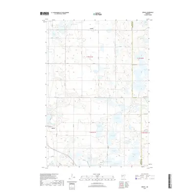
2019 Map of Erdahl
USGS Topo · Published 2019About this map
Barrett and the smaller community of Erdahl anchor this portion of Grant County, where the agricultural landscape is deeply influenced by a dense network of glacial basins and prairie wetlands. The western edge is dominated by Barrett Lake, which receives the southern flow of the Chippewa River near its confluence with Willow Slough. This 2019 survey documents the enduring rural infrastructure of the region, marked by a systematic grid of township roads and county highways that navigate around significant water bodies such as Malmgren Lake, Thorstad Lake, and Lee Lake. Local history is preserved in several burial grounds, including the Barrett Covenant Cem and the Old Lincoln Cem, the latter situated near the shores of Torstenson Lake. The map reveals the persistent marshy character of northern Grant County in areas like Schmall Marsh, contrasting with the more defined shorelines of Sylvan Lake and Ellingson Lake to the south.
Find a feature on this map
69 named features on this map. Tap any name to fly to it.
Don’t see what you’re looking for? This feature index may not catch every label — zoom into the map to look around manually.
Map Details
Editions of this 2019 Erdahl Map
This is the sole edition of this map. No revisions or reprints were ever made.
Other maps of this area
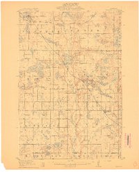
1911 · Barrett
USGS Topo · 1:62,500
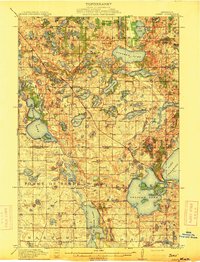
1913 · Ashby
USGS Topo · 1:62,500
1953 · Brainerd
USGS Topo · 1:250,000
1953 · Saint Cloud
USGS Topo · 1:250,000
1957 · Brainerd
USGS Topo · 1:250,000
1957 · Saint Cloud
USGS Topo · 1:250,000
1958 · Saint Cloud
USGS Topo · 1:250,000
1958 · Brainerd
USGS Topo · 1:250,000
1965 · Brainerd
USGS Topo · 1:250,000
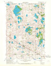
1966 · Kensington
USGS Topo · 1:24,000