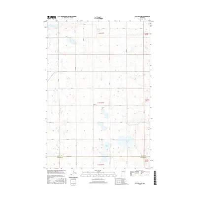
2016 Map of Patchen Lake
USGS Topo · Published 2016About this map
The glacial landscape of west-central Minnesota is defined by a dense network of wetlands and small basins, including Patchen Lake, Shauer Lake, and Jones Lake. This survey illustrates a meticulously surveyed agricultural grid where section lines have long dictated the path of local infrastructure like 170th St and 200th Ave. The terrain transitions across the Grant Co and Stevens Co border, following the Stevens Co Line Rd along the southern edge of the quadrangle.
Find a feature on this map
48 named features on this map. Tap any name to fly to it.
Don’t see what you’re looking for? This feature index may not catch every label — zoom into the map to look around manually.
Map Details
Editions of this 2016 Patchen Lake Map
This is the sole edition of this map. No revisions or reprints were ever made.
Other maps of this area

1910 · Chokio
USGS Topo · 1:62,500

1911 · Barrett
USGS Topo · 1:62,500

1911 · Herman
USGS Topo · 1:62,500

1912 · Chokio
USGS Topo · 1:62,500

1912 · Morris
USGS Topo · 1:62,500

1953 · Milbank
USGS Topo · 1:250,000

1953 · Saint Cloud
USGS Topo · 1:250,000

1957 · Saint Cloud
USGS Topo · 1:250,000

1958 · Milbank
USGS Topo · 1:250,000

1958 · Saint Cloud
USGS Topo · 1:250,000