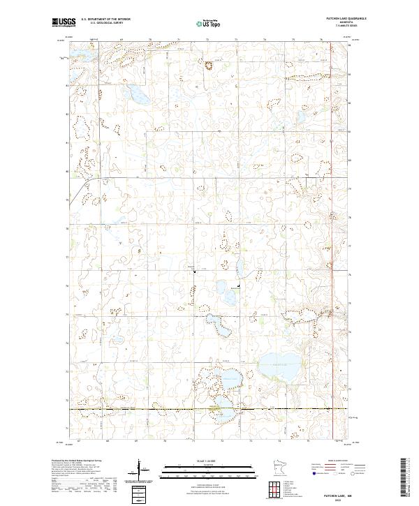
2022 Map of Patchen Lake
USGS Topo · Published 2022About this map
The glacial prairie landscape of Grant and Stevens Counties defines this western Minnesota area, where a network of township roads and county highways divides a mosaic of farmland and wetlands. Small family burial grounds like Brennin Cem and Roseville Cem are the primary markers of early settlement history, serving as vital touchstones for genealogists tracing the local farming community. The hydrology is dominated by numerous prairie potholes and named bodies of water including Patchen Lake, Shauer Lake, and Silver Lake. Along the southern edge, Stevens Co Line Rd marks the political boundary between jurisdictions, illustrating the rigid rectilinear surveying that dictated the region's development. This 2022 dataset reflects the modern layout of rural corridors such as Co Hwy 35 and 177th St as they navigate the subtle elevations and depressions of the till plain.
Find a feature on this map
33 named features on this map. Tap any name to fly to it.
Don’t see what you’re looking for? This feature index may not catch every label — zoom into the map to look around manually.
Map Details
Editions of this 2022 Patchen Lake Map
This is the sole edition of this map. No revisions or reprints were ever made.
Other maps of this area

1910 · Chokio
USGS Topo · 1:62,500

1911 · Barrett
USGS Topo · 1:62,500

1911 · Herman
USGS Topo · 1:62,500

1912 · Chokio
USGS Topo · 1:62,500

1912 · Morris
USGS Topo · 1:62,500

1953 · Milbank
USGS Topo · 1:250,000

1953 · Saint Cloud
USGS Topo · 1:250,000

1957 · Saint Cloud
USGS Topo · 1:250,000

1958 · Milbank
USGS Topo · 1:250,000

1958 · Saint Cloud
USGS Topo · 1:250,000