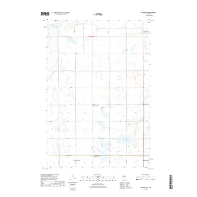
2019 Map of Patchen Lake
USGS Topo · Published 2019About this map
Patchen Lake and its surrounding wetlands dominate this landscape along the Grant and Stevens County line. This glacial prairie region is defined by a dense network of small water bodies and marshes, including Shauer Lake, Silver Lake, and Jones Lake to the north. The area maintains a strict section-line grid of rural roads, such as Co Hwy 35 and 177th St, which navigate around the numerous basins. For genealogists and local historians, the presence of the Roseville Cem and Brennin Cem near the center of the quadrangle provides vital points of interest for tracing early families in this agricultural pocket of western Minnesota.
Find a feature on this map
33 named features on this map. Tap any name to fly to it.
Don’t see what you’re looking for? This feature index may not catch every label — zoom into the map to look around manually.
Map Details
Editions of this 2019 Patchen Lake Map
This is the sole edition of this map. No revisions or reprints were ever made.
Other maps of this area

1910 · Chokio
USGS Topo · 1:62,500

1911 · Barrett
USGS Topo · 1:62,500

1911 · Herman
USGS Topo · 1:62,500

1912 · Chokio
USGS Topo · 1:62,500

1912 · Morris
USGS Topo · 1:62,500

1953 · Milbank
USGS Topo · 1:250,000

1953 · Saint Cloud
USGS Topo · 1:250,000

1957 · Saint Cloud
USGS Topo · 1:250,000

1958 · Milbank
USGS Topo · 1:250,000

1958 · Saint Cloud
USGS Topo · 1:250,000