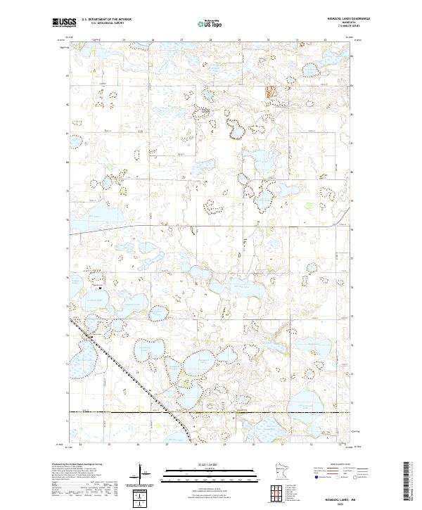
2022 Map of Niemackl Lakes
USGS Topo · Published 2022About this map
Niemackl Lakes and a complex system of prairie wetlands define the topography of this Grant County landscape. The area is characterized by a dense network of glacial water bodies, from the prominent Big Lake in the west to the seasonal marshlands of Keitzman Slough and Sherstad Slough. The Mustinka River threads through the northern sections, while the presence of the Hazzard Lakebed indicates the shifting hydrology of the region over time.
Find a feature on this map
45 named features on this map. Tap any name to fly to it.
Don’t see what you’re looking for? This feature index may not catch every label — zoom into the map to look around manually.
Map Details
Editions of this 2022 Niemackl Lakes Map
This is the sole edition of this map. No revisions or reprints were ever made.
Other maps of this area

1910 · Chokio
USGS Topo · 1:62,500

1911 · Barrett
USGS Topo · 1:62,500

1911 · Herman
USGS Topo · 1:62,500

1912 · Chokio
USGS Topo · 1:62,500

1912 · Morris
USGS Topo · 1:62,500

1953 · Milbank
USGS Topo · 1:250,000

1953 · Saint Cloud
USGS Topo · 1:250,000

1957 · Saint Cloud
USGS Topo · 1:250,000

1958 · Milbank
USGS Topo · 1:250,000

1958 · Saint Cloud
USGS Topo · 1:250,000