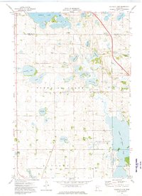
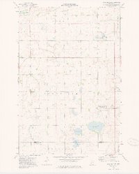
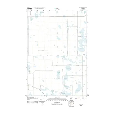
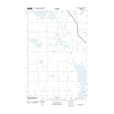
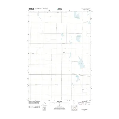
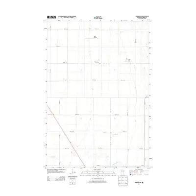
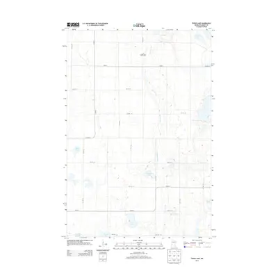
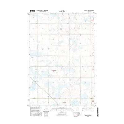
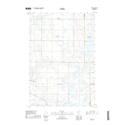
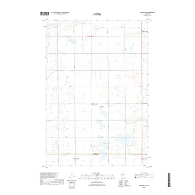
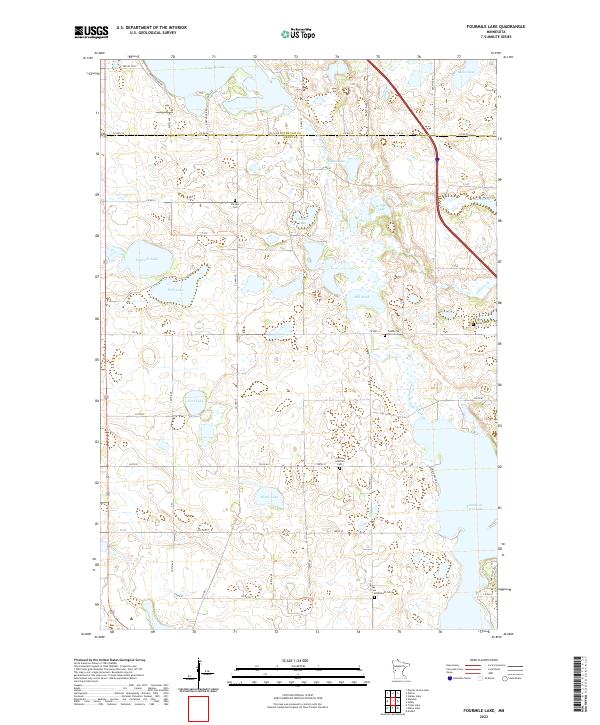
1973 Map of Fourmile Lake
USGS Topo · Published 1975About this map
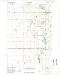
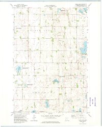
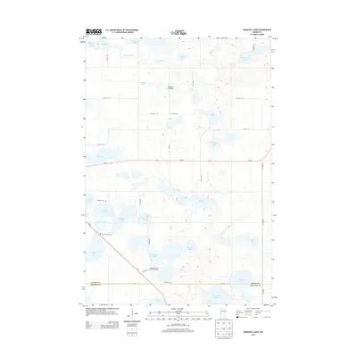
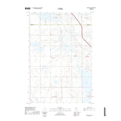
Tenmile Lake and the winding Pomme de Terre River dominate this West Central Minnesota landscape, characterized by a dense concentration of glacial lakes and wetlands. The drainage of the river connects several water bodies including Horseshoe Lake and the Mill Pond, eventually flowing into the expansive Pomme de Terre Lake at the southern boundary. This area, spanning the townships of Tumuli, Pomme de Terre, and Sanford, shows a established rural community structured around its water resources and township halls.
Find a feature on this map
35 named features on this map. Tap any name to fly to it.
Don’t see what you’re looking for? This feature index may not catch every label — zoom into the map to look around manually.
Map Details
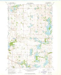
Editions of this 1973 Fourmile Lake Map
This is the sole edition of this map. No revisions or reprints were ever made.
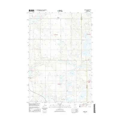
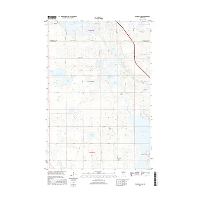
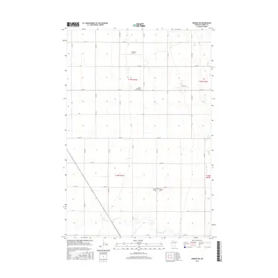
Historical Maps of Saint Olaf Township Through Time
42 maps found
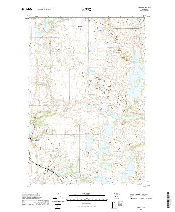
1973 Erdahl
Grant County, MN
1973 Fourmile Lake
Grant County, MN
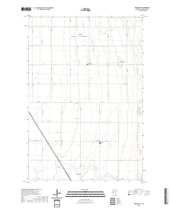
1973 Herman NW
Grant County, MN
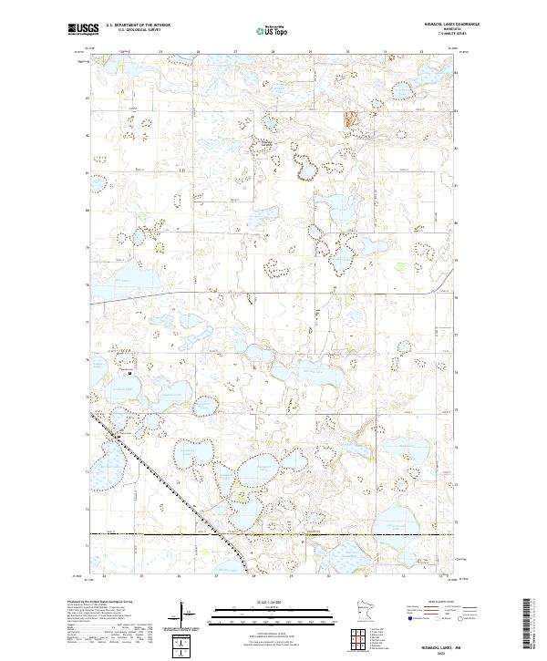
1973 Niemackl Lakes
Grant County, MN
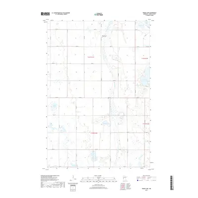
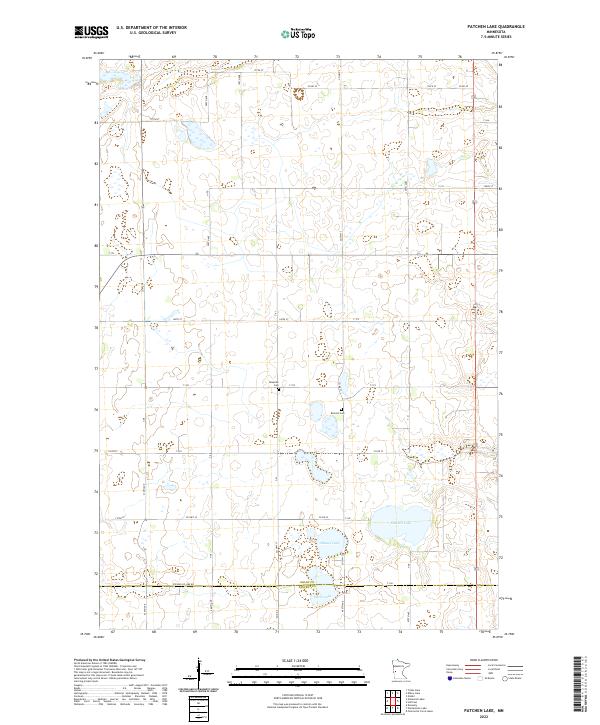
1973 Patchen Lake
Grant County, MN
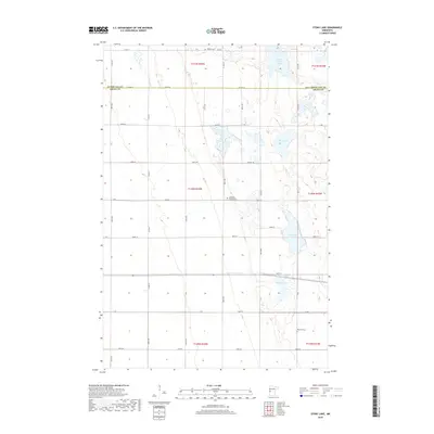
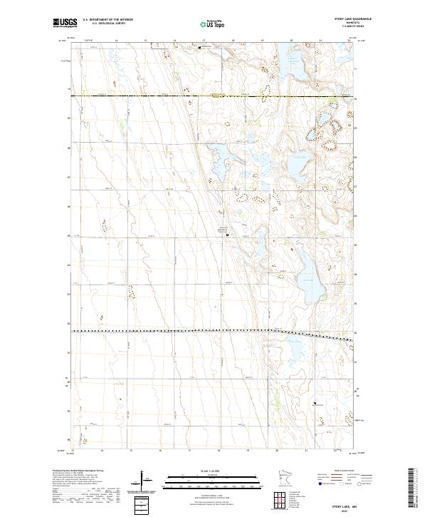
1973 Stony Lake
Grant County, MN
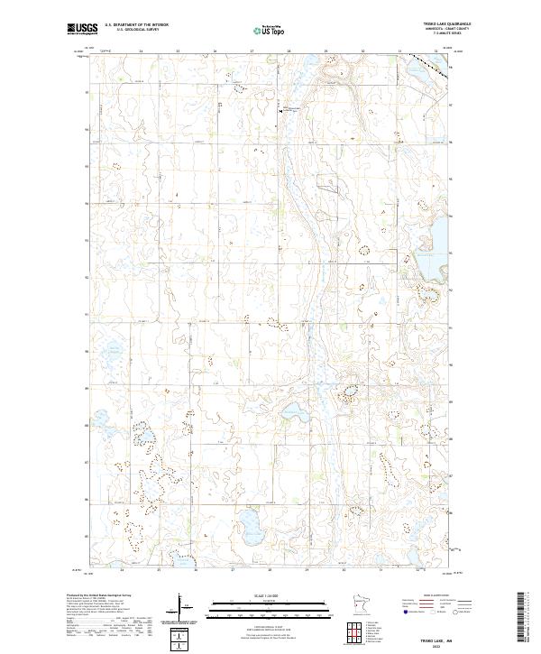
1973 Trisko Lake
Grant County, MN
2010 Erdahl
Grant County, MN
2010 Fourmile Lake
Grant County, MN
2010 Herman NW
Grant County, MN
2010 Niemackl Lakes
Grant County, MN
2010 Patchen Lake
Grant County, MN
2010 Stony Lake
Grant County, MN
2010 Trisko Lake
Grant County, MN
2013 Erdahl
Grant County, MN
2013 Fourmile Lake
Grant County, MN
2013 Herman NW
Grant County, MN
2013 Niemackl Lakes
Grant County, MN
2013 Patchen Lake
Grant County, MN
2013 Stony Lake
Grant County, MN
2013 Trisko Lake
Grant County, MN
2016 Erdahl
Grant County, MN
2016 Fourmile Lake
Grant County, MN
2016 Herman NW
Grant County, MN
2016 Niemackl Lakes
Grant County, MN
2016 Patchen Lake
Grant County, MN
2016 Stony Lake
Grant County, MN
2016 Trisko Lake
Grant County, MN
2019 Erdahl
Grant County, MN
2019 Fourmile Lake
Grant County, MN
2019 Herman NW
Grant County, MN
2019 Niemackl Lakes
Grant County, MN
2019 Patchen Lake
Grant County, MN
2019 Stony Lake
Grant County, MN
2019 Trisko Lake
Grant County, MN
2022 Erdahl
Grant County, MN
2022 Fourmile Lake
Grant County, MN
2022 Herman NW
Grant County, MN
2022 Niemackl Lakes
Grant County, MN
2022 Patchen Lake
Grant County, MN
2022 Stony Lake
Grant County, MN
2022 Trisko Lake
Grant County, MN