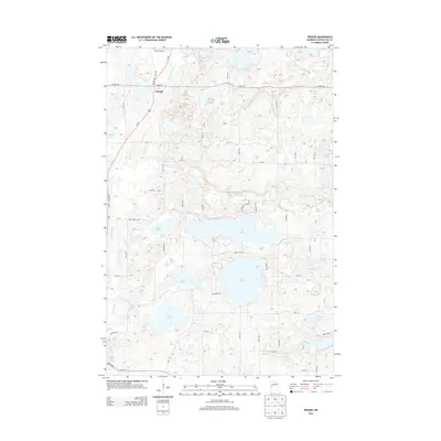
2013 Map of Erhard
USGS Topo · Published 2013About this map
Erhard serves as the primary settlement on this Otter Tail County sheet, situated along the Pelican River and Us-59. The landscape is defined by an intricate network of glacial lakes and wetlands, including large bodies like Lake Jewett, Devils Lake, and Lake Mason. This 2013 survey illustrates a rural environment where land use is dictated by this dense hydrography, with local roads like Jewett Lake Rd and Reed Creek Rd winding between the water and marshes. Genealogists may find interest in the Bagstevold Cem located north of the town center. The southern portion of the map transition toward the Otter Tail River valley, showing the varied terrain that characterizes the region west of Elizabeth.
Find a feature on this map
35 named features on this map. Tap any name to fly to it.
Don’t see what you’re looking for? This feature index may not catch every label — zoom into the map to look around manually.
Map Details
Editions of this 2013 Erhard Map
This is the sole edition of this map. No revisions or reprints were ever made.
Other maps of this area
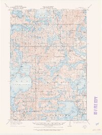
1912 · Vergas
USGS Topo · 1:62,500
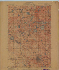
1913 · Fergus Falls
USGS Topo · 1:62,500
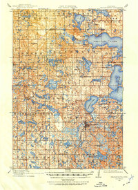
1914 · Pelican Rapids
USGS Topo · 1:62,500
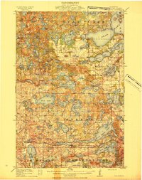
1915 · Underwood
USGS Topo · 1:62,500
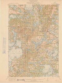
1915 · Vergas
USGS Topo · 1:62,500
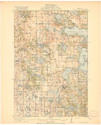
1917 · Pelican Rapids
USGS Topo · 1:62,500
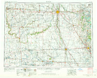
1953 · Fargo
USGS Topo · 1:250,000
1953 · Brainerd
USGS Topo · 1:250,000
1956 · Fargo
USGS Topo · 1:250,000
1957 · Brainerd
USGS Topo · 1:250,000