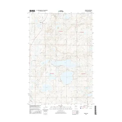
2016 Map of Erhard
USGS Topo · Published 2016About this map
Erhard serves as the primary hub of this glaciated landscape in Otter Tail County, where the Pelican River snakes southward through a dense network of kettle lakes. The settlement is centered at the junction of Co Hwy 24 and Fergus Ave, highlighting its role in the region's transport network. The terrain is defined by its water bodies, ranging from the large Lake Jewett and Long Lake in the central portion to the smaller, secluded Lake Mason and Grandrud Lake further north.
Find a feature on this map
64 named features on this map. Tap any name to fly to it.
Don’t see what you’re looking for? This feature index may not catch every label — zoom into the map to look around manually.
Map Details
Editions of this 2016 Erhard Map
This is the sole edition of this map. No revisions or reprints were ever made.
Other maps of this area
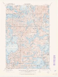
1912 · Vergas
USGS Topo · 1:62,500
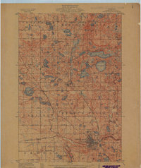
1913 · Fergus Falls
USGS Topo · 1:62,500
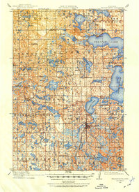
1914 · Pelican Rapids
USGS Topo · 1:62,500
1915 · Underwood
USGS Topo · 1:62,500
1915 · Vergas
USGS Topo · 1:62,500
1917 · Pelican Rapids
USGS Topo · 1:62,500
1953 · Fargo
USGS Topo · 1:250,000
1953 · Brainerd
USGS Topo · 1:250,000
1956 · Fargo
USGS Topo · 1:250,000
1957 · Brainerd
USGS Topo · 1:250,000