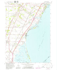
1967 Map of Erie
USGS Topo · Published 1979About this map
Lake Erie shoreline dynamics and industrial infrastructure define this coastal portion of Monroe County. The landscape is marked by the presence of a large Power Plant at Luna Pier, alongside the natural features of the Woodtick Peninsula and Allens Cove. A complex transportation corridor is evident, with the Detroit and Toledo Shore Line, Penn Central, and Chesapeake and Ohio railroads running parallel to the coast, serving the transit needs between major Great Lakes hubs.
Find a feature on this map
52 named features on this map. Tap any name to fly to it.
Don’t see what you’re looking for? This feature index may not catch every label — zoom into the map to look around manually.
Map Details
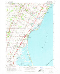
Editions of this 1967 Erie Map
2 editions found
Other maps of this area

1900 · Maumee Bay
USGS Topo · 1:62,500

1900 · Toledo
USGS Topo · 1:62,500

1912 · Monroe
USGS Topo · 1:62,500

1912 · Dundee
USGS Topo · 1:62,500

1914 · Monroe
USGS Topo · 1:62,500

1926 · Dundee
USGS Topo · 1:62,500

1927 · Monroe
USGS Topo · 1:31,680

1934 · Reno Beach
USGS Topo · 1:24,000

1934 · Point Place
USGS Topo · 1:24,000

1936 · Samaria
USGS Topo · 1:31,680
Featured Places
- Monroe Charter Township, MI
- LaSalle, LaSalle Township
- LaSalle Township, MI
- Erie, Erie Township
- Erie Township, MI