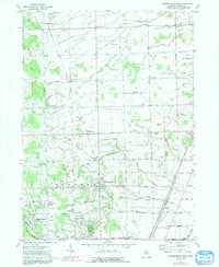
1972 Map of Lambertville East
USGS Topo · Published 1991About this map
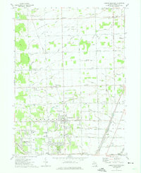
Temperance and Lambertville serve as the primary hubs in this southern Monroe County landscape, characterized by a dense network of drainage canals and agricultural townships during the early 1970s. The map illustrates a transition from rural crossroads like Ida Center and Morocco toward more suburban footprints, particularly evident in the cluster of schools such as Bedford High Sch and Jackman Road Sch. Water management is central to the area's geography, with the Summerfield and Ida Drain and Erie Drain crisscrossing the terrain to support the low-lying fields.
Find a feature on this map
89 named features on this map. Tap any name to fly to it.
Don’t see what you’re looking for? This feature index may not catch every label — zoom into the map to look around manually.
Map Details
Editions of this 1972 Lambertville East Map
2 editions found
Other maps of this area

1900 · Maumee Bay
USGS Topo · 1:62,500

1900 · Toledo
USGS Topo · 1:62,500

1912 · Monroe
USGS Topo · 1:62,500

1912 · Dundee
USGS Topo · 1:62,500

1914 · Monroe
USGS Topo · 1:62,500

1926 · Dundee
USGS Topo · 1:62,500

1927 · Monroe
USGS Topo · 1:31,680

1934 · Point Place
USGS Topo · 1:24,000

1936 · Samaria
USGS Topo · 1:31,680
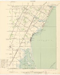
1936 · Erie
USGS Topo · 1:31,680
Featured Places
- Bedford Township, MI
- Temperance, Bedford Township
- LaSalle Township, MI
- Ida Township, MI
- Erie Township, MI