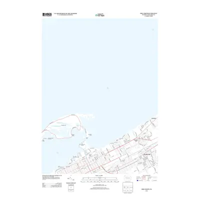
2013 Map of Erie North
USGS Topo · Published 2013About this map
Presque Isle creates a natural sheltered harbor for the Pennsylvania shoreline, a geographic formation that has long defined the region's maritime character. On this modern survey, the peninsula reveals a complex network of interior water bodies like Cranberry Pond, Niagara Pond, and Ridge Pond protected by the narrow strip of land at Big Bend. The shoreline is heavily developed with industrial and recreational infrastructure, including the Erie International Main Terminal and Austin Dock Number Four. Along the mainland, the map details the residential and industrial corridors of Lawrence Park and Wesleyville, where the grid of city streets meets the natural drainage of Fourmile Creek. Points of local historical significance are preserved alongside modern transit, from the General Wayne Blockhouse near Dobbins Landing to the Erie Harbor Pier Light, marking the transition from the bustling waterfront to the open waters of Lake Erie.
Find a feature on this map
136 named features on this map. Tap any name to fly to it.
Don’t see what you’re looking for? This feature index may not catch every label — zoom into the map to look around manually.
Map Details
Editions of this 2013 Erie North Map
This is the sole edition of this map. No revisions or reprints were ever made.
Other maps of this area

1899 · Erie
USGS Topo · 1:62,500

1900 · Erie
USGS Topo · 1:62,500

1913 · North East
USGS Topo · 1:62,500

1915 · North East
USGS Topo · 1:62,500

1943 · North East
USGS Topo · 1:62,500

1950 · Erie
USGS Topo · 1:250,000

1957 · Erie South
USGS Topo · 1:24,000
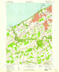
1957 · Swanville
USGS Topo · 1:24,000
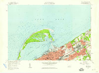
1957 · Erie North
USGS Topo · 1:24,000

1959 · Erie
USGS Topo · 1:250,000
Featured Places
- Erie, PA
- Harborcreek Township, PA
- Lawrence Park Township, PA
- Wesleyville, PA
- Fairfield, Harborcreek Township