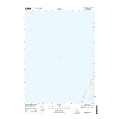
2016 Map of Erie North OE W
USGS Topo · Published 2016About this map
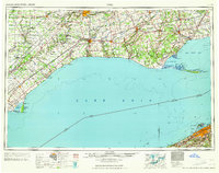
Lake Erie dominates this coastal survey, which captures the shifting shoreline of the Presque Isle peninsula in the early 21st century. The map illustrates the narrow northern extent of Presque Isle Bay, where the land curves inward at the landmark known as Big Bend. This area represents a critical maritime interface for Pennsylvania, showing the delicate topography of the spit as it protects the harbor. The limited terrestrial features highlight the environmental focus of this particular quadrangle, emphasizing the bathymetry and shoreline geometry of the Great Lakes region rather than inland development.
Find a feature on this map
3 named features on this map. Tap any name to fly to it.
Don’t see what you’re looking for? This feature index may not catch every label — zoom into the map to look around manually.
Map Details
Editions of this 2016 Erie North OE W Map
This is the sole edition of this map. No revisions or reprints were ever made.
Other maps of this area

1899 · Erie
USGS Topo · 1:62,500

1900 · Erie
USGS Topo · 1:62,500

1900 · Fairview
USGS Topo · 1:62,500

1950 · Erie
USGS Topo · 1:250,000
1957 · Fairview
USGS Topo · 1:24,000

1957 · Erie South
USGS Topo · 1:24,000
1957 · Swanville
USGS Topo · 1:24,000
1957 · Erie North
USGS Topo · 1:24,000

1959 · Erie
USGS Topo · 1:250,000
1965 · Erie
USGS Topo · 1:250,000