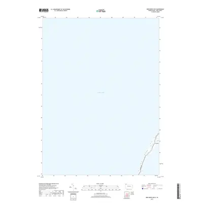
2019 Map of Erie North OE W
USGS Topo · Published 2019About this map
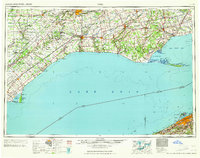
Lake Erie dominates this coastal landscape on the edge of Erie County, Pennsylvania. The map focuses on the slender shoreline of Millcreek Township, capturing the transition from open water to the specialized geography of the lakefront. A prominent feature is Big Bend, where the land curves sharply, creating a distinct natural landmark along the peninsula. Inland transport is defined by the paths of Peninsula Dr and Fisher Dr, which follow the narrow land strip. This 2019 survey provides a contemporary perspective on this shoreline, useful for documenting environmental changes and road layouts in a highly focused coastal area.
Find a feature on this map
4 named features on this map. Tap any name to fly to it.
Don’t see what you’re looking for? This feature index may not catch every label — zoom into the map to look around manually.
Map Details
Editions of this 2019 Erie North OE W Map
This is the sole edition of this map. No revisions or reprints were ever made.
Other maps of this area

1899 · Erie
USGS Topo · 1:62,500

1900 · Erie
USGS Topo · 1:62,500

1900 · Fairview
USGS Topo · 1:62,500

1950 · Erie
USGS Topo · 1:250,000
1957 · Fairview
USGS Topo · 1:24,000

1957 · Erie South
USGS Topo · 1:24,000
1957 · Swanville
USGS Topo · 1:24,000
1957 · Erie North
USGS Topo · 1:24,000

1959 · Erie
USGS Topo · 1:250,000
1965 · Erie
USGS Topo · 1:250,000