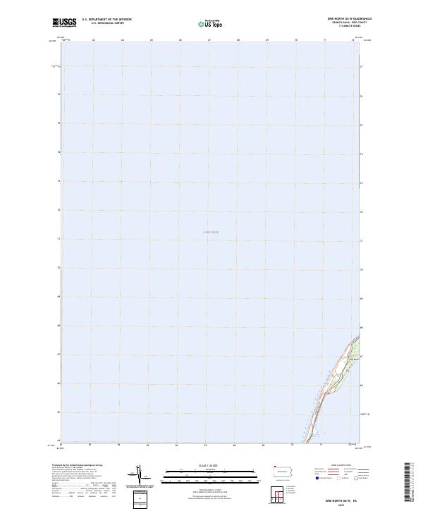
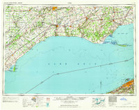
2023 Map of Erie North OE W
USGS Topo · Published 2023About this map
Lake Erie dominates this coastal survey, where the waters of the Great Lakes meet the thin, arcing shoreline of Presque Isle. The landscape is defined by the narrow passage along Peninsula Dr and the recreational path of the Karl Boyes Multi-Purpose National Recreation Trl, which tracks the interior curves of the peninsula. At the southeastern corner, the terrain reaches Big Bend, a distinct geographic point where the land shifts direction sharply. This map documents a modern layout of access roads like Fisher Dr, highlighting the area's transition from a natural barrier to a managed public space and national recreation destination.
Find a feature on this map
5 named features on this map. Tap any name to fly to it.
Don’t see what you’re looking for? This feature index may not catch every label — zoom into the map to look around manually.
Map Details
Editions of this 2023 Erie North OE W Map
This is the sole edition of this map. No revisions or reprints were ever made.
Other maps of this area

1899 · Erie
USGS Topo · 1:62,500

1900 · Erie
USGS Topo · 1:62,500

1900 · Fairview
USGS Topo · 1:62,500

1950 · Erie
USGS Topo · 1:250,000
1957 · Fairview
USGS Topo · 1:24,000

1957 · Erie South
USGS Topo · 1:24,000
1957 · Swanville
USGS Topo · 1:24,000
1957 · Erie North
USGS Topo · 1:24,000

1959 · Erie
USGS Topo · 1:250,000
1965 · Erie
USGS Topo · 1:250,000