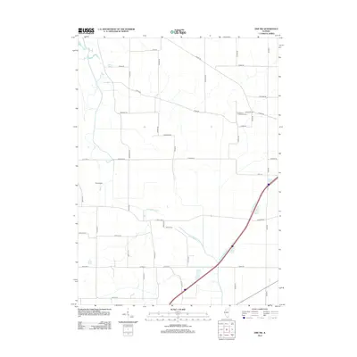
2012 Map of Erie NW
USGS Topo · Published 2012About this map
Kingsbury Presbyterian Cem stands as a focal point for local history in this rural landscape of Rock Island County. The terrain is defined by an extensive network of drainage and water management, most notably the Meredosia Ditch and Mineral Spring Cr, which navigate a grid of section-line roads and family-named routes. The agricultural character of the area is reinforced by the presence of Kamy Field and numerous thoroughfares like Gaulrapp Rd, Albany Rd, and Meredosia Rd. This early 21st-century survey illustrates the persistent rural structure of the region, where the intersection of watercourses and long-established roadways continues to shape the distribution of land and local landmarks.
Find a feature on this map
41 named features on this map. Tap any name to fly to it.
Don’t see what you’re looking for? This feature index may not catch every label — zoom into the map to look around manually.
Map Details
Editions of this 2012 Erie NW Map
This is the sole edition of this map. No revisions or reprints were ever made.
Other maps of this area

1891 · Clinton
USGS Topo · 1:62,500

1892 · Goose Lake
USGS Topo · 1:62,500

1892 · Leclaire
USGS Topo · 1:62,500

1893 · Leclaire
USGS Topo · 1:62,500

1894 · Goose Lake
USGS Topo · 1:62,500

1894 · Clinton
USGS Topo · 1:62,500

1899 · Clinton
USGS Topo · 1:125,000

1949 · Port Byron
USGS Topo · 1:24,000

1950 · Port Byron
USGS Topo · 1:24,000

1952 · Erie
USGS Topo · 1:62,500