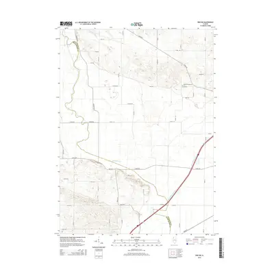
2015 Map of Erie NW
USGS Topo · Published 2015About this map
The county line between Whiteside Co and Rock Island Co bisects this agricultural landscape, defined by the low-lying drainage patterns of the Meredosia Slough and the engineered channel of the Meredosia Ditch. This area near the Mississippi River floodplain shows a transition from the broad, flat bottomlands to the gently rising upland terrain to the east. Local religious and community history is anchored at the Kingsbury Presbyterian church and the adjacent Kingsbury Presbyterian Cem, situated near the junction of Gaulrapp Rd and Albany Rd. A network of rural roads such as Stropes Rd and Keeley Rd connects the scattered farmsteads, while Mineral Spring Creek winds through the southeastern portion of the quadrangle.
Find a feature on this map
26 named features on this map. Tap any name to fly to it.
Don’t see what you’re looking for? This feature index may not catch every label — zoom into the map to look around manually.
Map Details
Editions of this 2015 Erie NW Map
This is the sole edition of this map. No revisions or reprints were ever made.
Other maps of this area
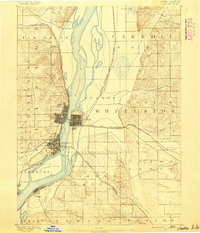
1891 · Clinton
USGS Topo · 1:62,500
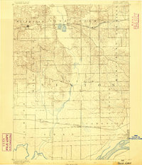
1892 · Goose Lake
USGS Topo · 1:62,500
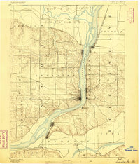
1892 · Leclaire
USGS Topo · 1:62,500
1893 · Leclaire
USGS Topo · 1:62,500
1894 · Goose Lake
USGS Topo · 1:62,500
1894 · Clinton
USGS Topo · 1:62,500
1899 · Clinton
USGS Topo · 1:125,000
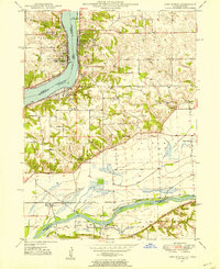
1949 · Port Byron
USGS Topo · 1:24,000
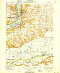
1950 · Port Byron
USGS Topo · 1:24,000
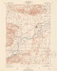
1952 · Erie
USGS Topo · 1:62,500