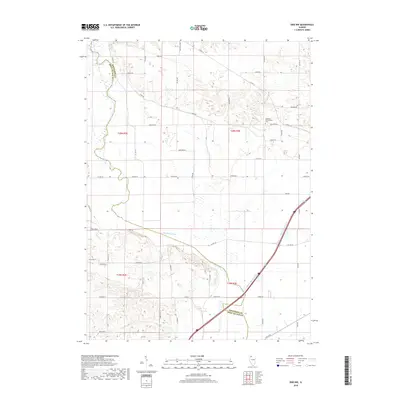
2018 Map of Erie NW
USGS Topo · Published 2018About this map
Whiteside and Rock Island counties meet along a landscape defined by the lowlands of the Meredosia Ditch, a significant drainage feature cutting across the central portion of the quadrangle. This 2018 survey illustrates a highly organized agricultural grid, where family-named routes like Gaulrapp Rd, Stropes Rd, and Thome Rd segment the terrain into precise townships. The northern section of the map reveals a shift from these rectilinear fields to more complex topography near the county line, while the southeastern corner is marked by the path of Mineral Spring Creek. A primary point of interest for genealogists is the Kingsbury Presbyterian Cem, situated along Co Hwy 13 near the junction with Gaulrapp Rd. The map serves as a contemporary record of rural Illinois land use, where established county highways and named local roads provide access to isolated farmsteads and agricultural plots.
Find a feature on this map
49 named features on this map. Tap any name to fly to it.
Don’t see what you’re looking for? This feature index may not catch every label — zoom into the map to look around manually.
Map Details
Editions of this 2018 Erie NW Map
This is the sole edition of this map. No revisions or reprints were ever made.
Other maps of this area
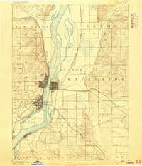
1891 · Clinton
USGS Topo · 1:62,500
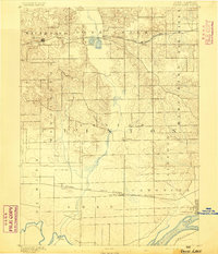
1892 · Goose Lake
USGS Topo · 1:62,500
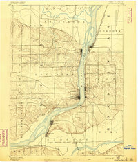
1892 · Leclaire
USGS Topo · 1:62,500
1893 · Leclaire
USGS Topo · 1:62,500
1894 · Goose Lake
USGS Topo · 1:62,500
1894 · Clinton
USGS Topo · 1:62,500
1899 · Clinton
USGS Topo · 1:125,000
1949 · Port Byron
USGS Topo · 1:24,000
1950 · Port Byron
USGS Topo · 1:24,000
1952 · Erie
USGS Topo · 1:62,500