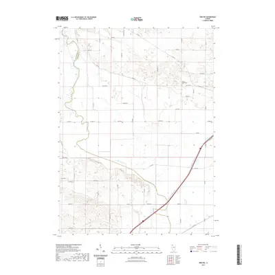
2021 Map of Erie NW
USGS Topo · Published 2021About this map
Low-lying bottomlands and agricultural fields define this portion of the Illinois landscape, where the border between Rock Island Co and Whiteside Co is marked by the course of local drainage and straight section-line roads. The hydrological character of the region is evident in the engineered Meredosia Ditch and the winding path of Mineral Spring Creek, which cuts through the southern terrain. This survey reflects a deeply established rural infrastructure where family-named roads like Gaulrapp Rd and Stropes Rd connect scattered homesteads. A significant local landmark is the Kingsbury Presbyterian Cem, situated along Elston Rd and Gaulrapp Rd, serving as a key point of interest for those researching the genealogy and early settlement patterns of this river-valley region.
Find a feature on this map
44 named features on this map. Tap any name to fly to it.
Don’t see what you’re looking for? This feature index may not catch every label — zoom into the map to look around manually.
Map Details
Editions of this 2021 Erie NW Map
This is the sole edition of this map. No revisions or reprints were ever made.
Other maps of this area

1891 · Clinton
USGS Topo · 1:62,500

1892 · Goose Lake
USGS Topo · 1:62,500

1892 · Leclaire
USGS Topo · 1:62,500

1893 · Leclaire
USGS Topo · 1:62,500

1894 · Goose Lake
USGS Topo · 1:62,500

1894 · Clinton
USGS Topo · 1:62,500

1899 · Clinton
USGS Topo · 1:125,000

1949 · Port Byron
USGS Topo · 1:24,000

1950 · Port Byron
USGS Topo · 1:24,000

1952 · Erie
USGS Topo · 1:62,500