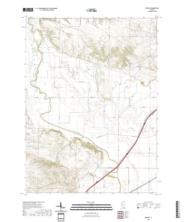
2024 Map of Erie NW
USGS Topo · Published 2024About this map
Kingsbury Presbyterian Cem serves as a quiet landmark in this rural landscape where the border of Whiteside Co and Rock Island Co meets. The terrain is defined by a series of low-lying drainage features, most notably the Meredosia Ditch and the winding path of Mineral Spring Creek. This area is characterized by a high-density network of local county roads and township routes, such as Co Hwy 13 and Stern Rd, which partition the land into the traditional agricultural grid typical of western Illinois.
Find a feature on this map
42 named features on this map. Tap any name to fly to it.
Don’t see what you’re looking for? This feature index may not catch every label — zoom into the map to look around manually.
Map Details
Editions of this 2024 Erie NW Map
This is the sole edition of this map. No revisions or reprints were ever made.
Other maps of this area

1891 · Clinton
USGS Topo · 1:62,500

1892 · Goose Lake
USGS Topo · 1:62,500

1892 · Leclaire
USGS Topo · 1:62,500

1893 · Leclaire
USGS Topo · 1:62,500

1894 · Goose Lake
USGS Topo · 1:62,500

1894 · Clinton
USGS Topo · 1:62,500

1899 · Clinton
USGS Topo · 1:125,000

1949 · Port Byron
USGS Topo · 1:24,000

1950 · Port Byron
USGS Topo · 1:24,000

1952 · Erie
USGS Topo · 1:62,500