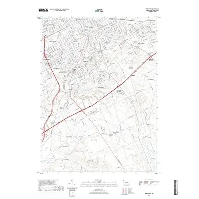
2019 Map of Erie South
USGS Topo · Published 2019About this map
Erie and its southern suburbs are depicted here just before the turn of the 2020s, revealing a landscape defined by collegiate institutions and significant memorial sites. The city's southward expansion is anchored by Mercyhurst University and specialized educational centers like the Lake Erie College of Osteopathic Medicine and the Great Lakes Institute of Technology. This era shows a dense network of cemeteries and churchyards that serve as essential records for genealogists, including the sprawling Erie Cem, the historic Anshe Hesed Cem, and the Grubb Burial Ground.
Find a feature on this map
150 named features on this map. Tap any name to fly to it.
Don’t see what you’re looking for? This feature index may not catch every label — zoom into the map to look around manually.
Map Details
Editions of this 2019 Erie South Map
This is the sole edition of this map. No revisions or reprints were ever made.
Other maps of this area

1899 · Erie
USGS Topo · 1:62,500

1900 · Erie
USGS Topo · 1:62,500

1913 · North East
USGS Topo · 1:62,500

1915 · North East
USGS Topo · 1:62,500

1923 · Cambridge Springs
USGS Topo · 1:62,500

1925 · Cambridge Springs
USGS Topo · 1:62,500

1929 · Union City
USGS Topo · 1:62,500

1932 · Union City
USGS Topo · 1:62,500

1943 · North East
USGS Topo · 1:62,500

1943 · Cambridge Springs
USGS Topo · 1:62,500