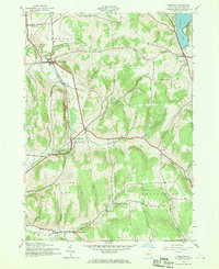
1943 Map of Erieville
USGS Topo · Published 1970About this map
New Woodstock and Erieville anchor this rural Madison County landscape during the early 1940s, a period when the Lehigh Valley railroad still shaped local commerce and transit. The map reveals a highly structured rural society, marked by numerous small rural schools like School No 1 and Wibert Sch, and religious or cultural enclaves such as the Quaker Settlement in the south. The terrain is defined by significant ridges like Kinney Hill and Hunt Hill, which dictate the paths of the many watercourses including Tioughnioga Creek and Limestone Creek. This survey captures the region just before post-war modernization began to consolidate these smaller districts and settlements, preserving the exact locations of family-named landmarks like S. Allard Cem and the small whistle-stop at Delphi Sta.
Find a feature on this map
27 named features on this map. Tap any name to fly to it.
Don’t see what you’re looking for? This feature index may not catch every label — zoom into the map to look around manually.
Map Details
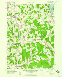
Editions of this 1943 Erieville Map
2 editions found
Other maps of this area

1897 · Cazenovia
USGS Topo · 1:62,500

1899 · Cazenovia
USGS Topo · 1:62,500

1902 · Morrisville
USGS Topo · 1:62,500

1903 · Norwich
USGS Topo · 1:62,500

1904 · Pitcher
USGS Topo · 1:62,500

1942 · Oran
USGS Topo · 1:24,000
1943 · Oran
USGS Topo · 1:31,680

1943 · Otselic
USGS Topo · 1:24,000

1943 · De Ruyter
USGS Topo · 1:24,000
1943 · Cazenovia
USGS Topo · 1:24,000