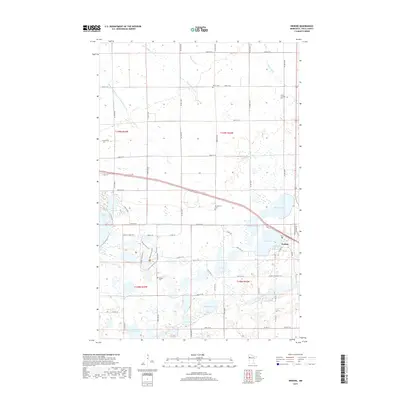
2019 Map of Erskine
USGS Topo · Published 2019About this map
Erskine serves as the central hub of this Polk County landscape, situated at a junction of roads and rail lines near the shores of Cameron Lake. The surrounding terrain is defined by a dense network of glacial water bodies and managed waterways, including Badger Lake, Bee Lake, and Eighteen Lake. These lakes are interconnected by features like County Ditch Number One Hundred Eleven and Judicial Ditch Number Seventythree, reflecting a long history of water management to support the region's agricultural productivity. Local history and genealogy are anchored by several established burial grounds, such as Saron Lutheran Cem and Rodnes Cem, which sit alongside rural routes like Co Rd 210. A variety of recreational paths, including the Tamarac Lake Trail and Golden Pond Trail, wind through the wetlands and woodlands, highlighting the area's modern character as a place where local transit and outdoor access intersect with traditional farming acreage.
Find a feature on this map
49 named features on this map. Tap any name to fly to it.
Don’t see what you’re looking for? This feature index may not catch every label — zoom into the map to look around manually.
Map Details
Editions of this 2019 Erskine Map
This is the sole edition of this map. No revisions or reprints were ever made.
Other maps of this area

1918 · Terrebonne
USGS Topo · 1:62,500

1919 · Grit
USGS Topo · 1:62,500

1919 · Valley
USGS Topo · 1:62,500

1952 · Grand Forks
USGS Topo · 1:250,000

1954 · Bemidji
USGS Topo · 1:250,000

1956 · Grand Forks
USGS Topo · 1:250,000

1957 · Bemidji
USGS Topo · 1:250,000

1958 · Bemidji
USGS Topo · 1:250,000

1964 · Terrebonne
USGS Topo · 1:24,000

1964 · Brooks
USGS Topo · 1:24,000