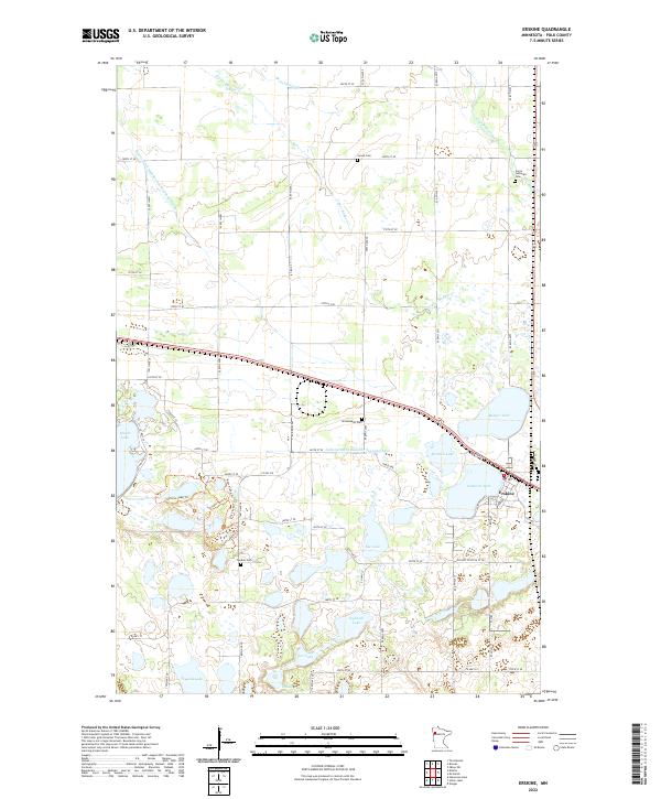
2022 Map of Erskine
USGS Topo · Published 2022About this map
Erskine stands at the intersection of a complex glacial landscape and early twentieth-century water management systems. The terrain is defined by a dense concentration of kettle lakes and wetlands, including Maple Lake, Badger Lake, and the cluster of Cameron Lake and Mitchell Lake. These natural features are interspersed with significant drainage infrastructure like Judicial Ditch Number Seventythree and County Ditch Number One Hundred Eleven, reflecting a history of land reclamation for agriculture in Polk County.
Find a feature on this map
51 named features on this map. Tap any name to fly to it.
Don’t see what you’re looking for? This feature index may not catch every label — zoom into the map to look around manually.
Map Details
Editions of this 2022 Erskine Map
This is the sole edition of this map. No revisions or reprints were ever made.
Other maps of this area

1918 · Terrebonne
USGS Topo · 1:62,500

1919 · Grit
USGS Topo · 1:62,500

1919 · Valley
USGS Topo · 1:62,500

1952 · Grand Forks
USGS Topo · 1:250,000

1954 · Bemidji
USGS Topo · 1:250,000

1956 · Grand Forks
USGS Topo · 1:250,000

1957 · Bemidji
USGS Topo · 1:250,000

1958 · Bemidji
USGS Topo · 1:250,000

1964 · Terrebonne
USGS Topo · 1:24,000

1964 · Brooks
USGS Topo · 1:24,000