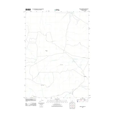
2012 Map of Ervay Basin
USGS Topo · Published 2012About this map
The S Fork Powder River meanders through the heart of the Ervay Basin, a landscape defined by ranching and resource extraction in Natrona County. This early 21st-century survey documents a region where energy infrastructure and high-plains agriculture coexist, shown through the presence of the Gas Hills Rd and the nearby Gas Hills Airstrip. To the east, the small settlement of Raderville sits near the intersection of several remote transport routes.
Find a feature on this map
16 named features on this map. Tap any name to fly to it.
Don’t see what you’re looking for? This feature index may not catch every label — zoom into the map to look around manually.
Map Details
Editions of this 2012 Ervay Basin Map
This is the sole edition of this map. No revisions or reprints were ever made.
Other maps of this area

1952 · Ervay Basin SW
USGS Topo · 1:24,000

1952 · Arminto SW
USGS Topo · 1:24,000

1952 · Gas Hills
USGS Topo · 1:24,000

1952 · Moneta SE
USGS Topo · 1:24,000

1952 · Miles Ranch
USGS Topo · 1:24,000

1952 · Hiland
USGS Topo · 1:24,000

1952 · Ervay Basin
USGS Topo · 1:24,000

1955 · Arminto
USGS Topo · 1:250,000

1955 · Casper
USGS Topo · 1:250,000

1957 · Miles Ranch
USGS Topo · 1:24,000